Transport Functions
Rail
Road
Hub Profile
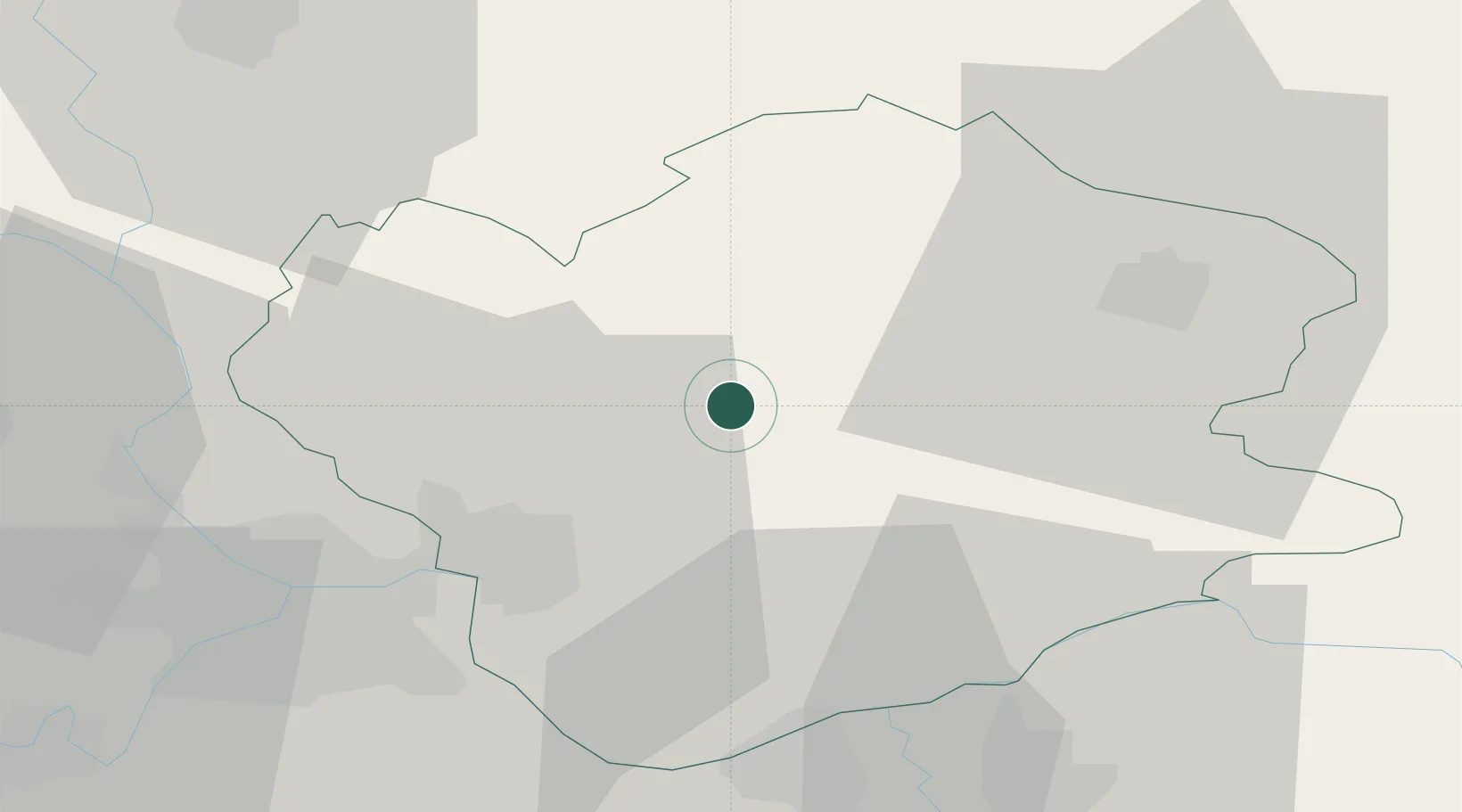
Place type
Populated place
Region
Vojvodina
Population
5,106
Time zone
Europe/Belgrade
Elevation
137 m
Location
Nearby Logistics Neighbours
Cities
- 1Banatski Karlovac9 km
- 2Kovin31 km
- 3Vrsac35 km
- 4Pancevo38 km
- 5Smederevo41 km
Airports
Trade Zones
- 1Beograd Free Zone38 km
- 2Smederevo Free Zone39 km
- 3Zrenjanin Free Zone56 km
- 4Novi Sad Free Zone86 km
- 5Svilajnac Free Zone89 km
DatabookThe Record of Consolidated Knowledge
Serbia beyond logistics?