UN/LOCODE hub · Serbia
RSSZB
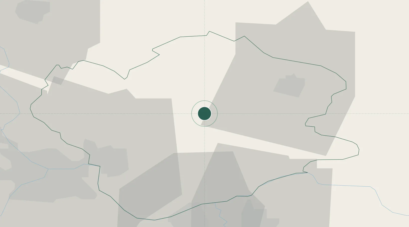
Banatski Karlovac
45.0333°, 21.0000°
6,319
Population
1
Transport functions
Transport Functions
Multimodal
Hub Profile
Place type
Populated place
Region
Vojvodina
Population
6,319
Time zone
Europe/Belgrade
Elevation
97 m
Location
Nearby Logistics Neighbours
Cities
- 1Vladimirovac9 km
- 2Vrsac25 km
- 3Kovin32 km
- 4Stamora Germana34 km
- 5Bazias40 km
Airports
Trade Zones
- 1Smederevo Free Zone41 km
- 2Beograd Free Zone47 km
- 3Zrenjanin Free Zone61 km
- 4VGP Park Timisoara85 km
- 5Svilajnac Free Zone88 km
DatabookThe Record of Consolidated Knowledge
Serbia beyond logistics?