UN/LOCODE hub · Romania
ROTSC
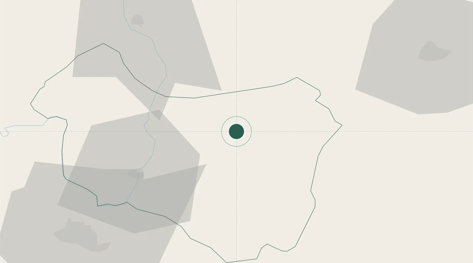
Târgu Secuiesc
46.0000°, 26.1333°
20,067
Population
2
Transport functions
Transport Functions
Rail
Road
Hub Profile
Place type
Provincial seat
Region
Covasna County
Population
20,067
Time zone
Europe/Bucharest
Elevation
571 m
Location
Nearby Logistics Neighbours
Cities
- 1Ojdula9 km
- 2Sfantul-Gheorghe31 km
- 3Pietroasele35 km
- 4Prejmer42 km
- 5Harghita-Bai47 km
Airports
Trade Zones
- 1VGP Park Brasov59 km
- 2Free Zone Galați98 km
- 3VGP Park Sibiu162 km
- 4Free zone Brăila164 km
- 5VGP Park Buharest North170 km
DatabookThe Record of Consolidated Knowledge
Romania beyond logistics?