Large airport · Romania

Bucharest Henri Coandă International AirportLROP
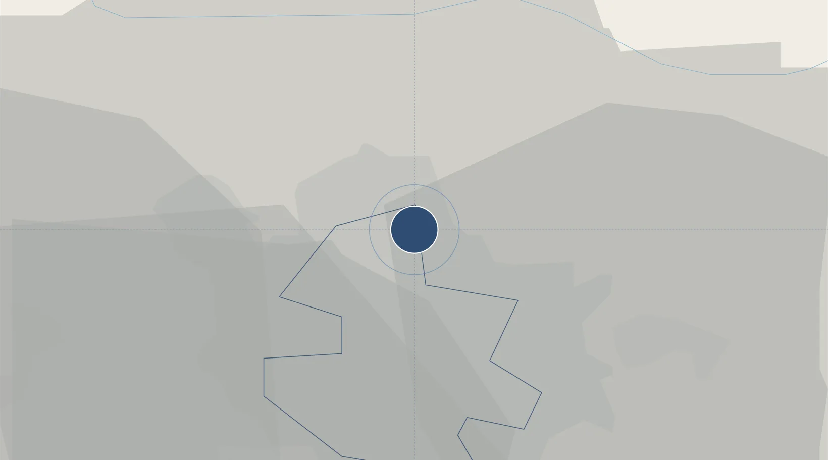
44.5718°, 26.1033°
11,484 ft
Longest runway
2
Runways
314 ft
Elevation

Runway & Layout

Bucharest Henri Coandă International Airport runway & taxiway layout
Runway & taxiway layout — OpenStreetMap (ODbL) / OurAirports

Radio Frequencies

ATIS
118.5 MHz
OTOPENI ATIS
TWR
120.9 MHz
OTOPENI TWR
GND
121.7 MHz
OTOPENI GND
APP
118.25 MHz
BUCURESTI APP
OurAirports

Navaids

FLR VOR-DME Floresti 112.20 MHz
OPE NDB Otopeni 349 kHz
OPW NDB Otopeni 268 kHz
OTL NDB Otopeni 370 kHz
STJ VOR-DME Strejnic 113.20 MHz
OurAirports

Runways · 2

RunwayDimensions SurfaceTrue headingLit
08L/26R 11,484 × 148ft Asphalt 084°
08R/26L 11,484 × 148ft Asphalt 084°
OurAirports

Airport Specifications

IATA code
OTP
OurAirports
ICAO code
LROP
OurAirports
Airport class
Large airport
OurAirports
Scheduled service
Yes
OurAirports
Runway surface
Asphalt
OurAirports
Served city
Otopeni
OurAirports

Location

Location of LROP
Natural Earth 10m (public domain) · Bucharest · LROP · 44.57, 26.10GoogleOSMYandex

Nearby Logistics Neighbours

Airports
  1. 1Bucharest Băneasa Aurel Vlaicu International Airport8 km
  2. 2Boboc Air Base100 km
  3. 3Feteşti Borcea Air Base130 km
  4. 4Brașov-Ghimbav International Airport134 km
  5. 5Gorna Oryahovitsa Airport161 km
Nearest neighbours — logibook spatial index (haversine) over the source coordinates
Cities
  1. 1Tunari4 km
  2. 2Balotesti5 km
  3. 3Stefanestii de Jos9 km
  4. 4Chitila14 km
  5. 5Snagov16 km
Nearest neighbours — logibook spatial index (haversine) over the source coordinates
Ports
  1. 1Cernavoda157 km
  2. 2Braila166 km
  3. 3Medgidia176 km
  4. 4Galati182 km
  5. 5Basarabi191 km
Nearest neighbours — logibook spatial index (haversine) over the source coordinates
Trade Zones
  1. 1VGP Park Buharest North16 km
  2. 2Free Zone Giurgiu76 km
  3. 3Rousse Free Zone77 km
  4. 4Free Zone Galați117 km
  5. 5VGP Park Brasov128 km
Nearest neighbours — logibook spatial index (haversine) over the source coordinates
DatabookThe Record of Consolidated Knowledge
Romania beyond logistics?
Browse databook

All Sources

AirportsOurAirports
Public domain
Portsthe NGA World Port Index
Public domain (US gov)
LocationsUN/LOCODE
UN/LOCODE — free
Trade Zonesthe World Bank SEZ database
CC BY 4.0
Trade ZonesOpen Zone Map
CC BY
InfrastructureOpenStreetMap
ODbL 1.0
← Romania airports