Transport Functions
Rail
Road
Hub Profile
Region
CV
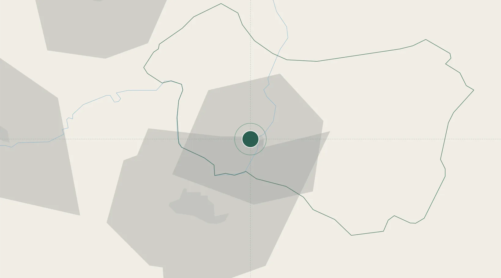
Location
Nearby Logistics Neighbours
Cities
- 1Prejmer17 km
- 2Halchiu21 km
- 3Sacele29 km
- 4Târgu Secuiesc31 km
- 5Codlea32 km
Airports
Trade Zones
- 1VGP Park Brasov29 km
- 2Free Zone Galați111 km
- 3VGP Park Sibiu133 km
- 4VGP Park Buharest North155 km
- 5Free zone Brăila183 km
DatabookThe Record of Consolidated Knowledge
Romania beyond logistics?