Transport Functions
Port
Multimodal
Hub Profile
Place type
Provincial seat
Region
Buzău County
Population
3,690
Time zone
Europe/Bucharest
Elevation
341 m
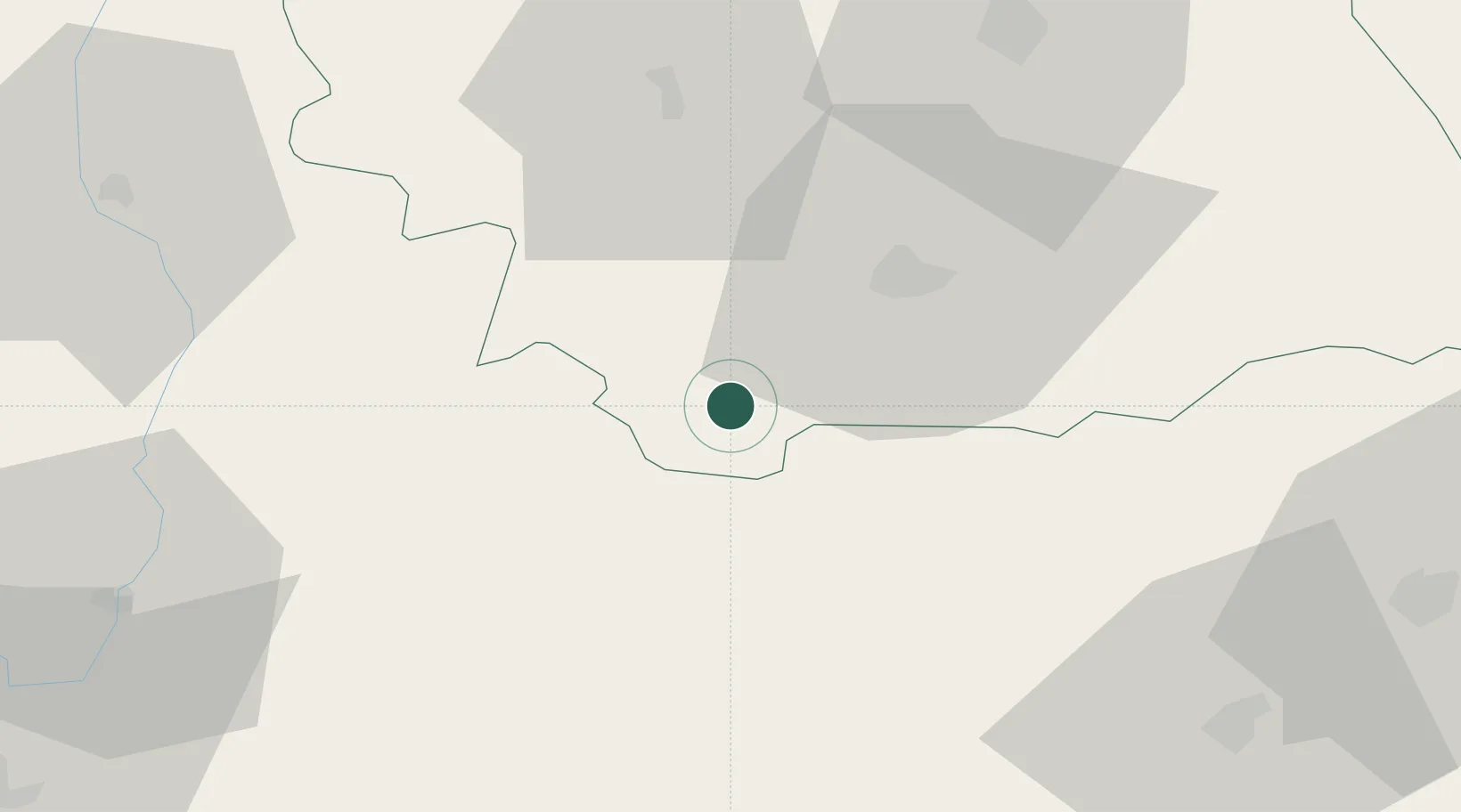
Location
Nearby Logistics Neighbours
Cities
- 1Ojdula28 km
- 2Târgu Secuiesc35 km
- 3Moinesti41 km
- 4Jaristea52 km
- 5Odobesti53 km
Airports
Trade Zones
- 1Free Zone Galați87 km
- 2VGP Park Brasov93 km
- 3Free zone Brăila143 km
- 4Giurgiulesti International Free Port145 km
- 5Reni Special Economic Zone152 km
DatabookThe Record of Consolidated Knowledge
Romania beyond logistics?