Free Trade Zone · Romania

Free zone Brăila Active
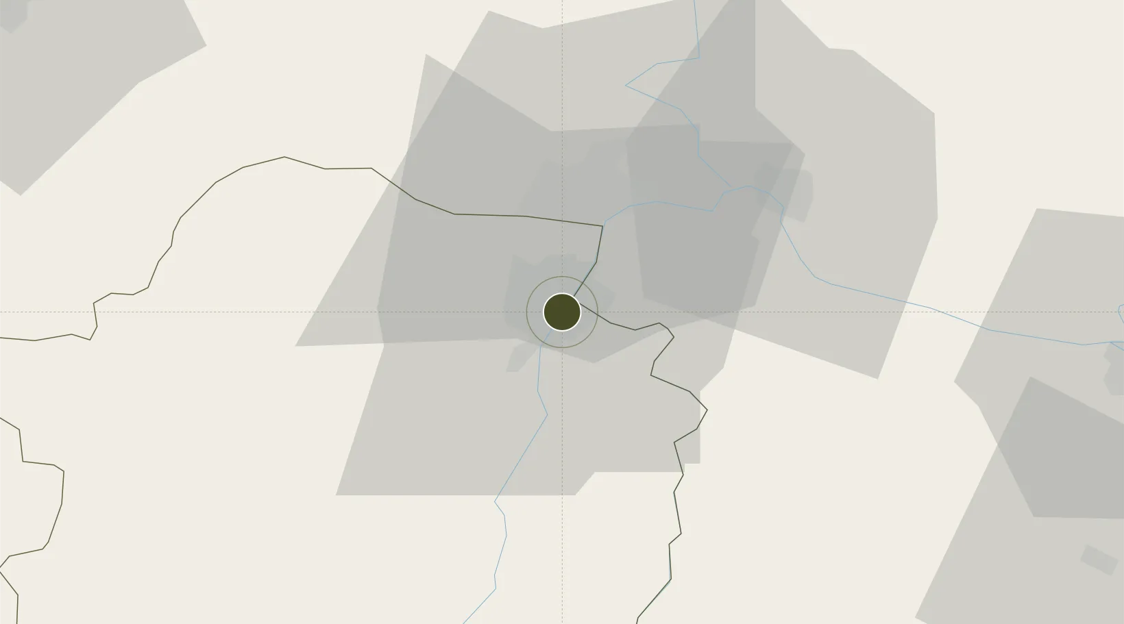
45.2734°, 27.9727°
110 ha
Zone area
2.7 km
Nearest port
62.7 km
Nearest airport

Gateway access

Nearest neighbours — logibook spatial index (haversine) over the source coordinates

Zone profile

Zone type
Free Trade Zone
Open Zone Map
Region
Braila
Open Zone Map
Status
Active
Open Zone Map
Management
Private
Open Zone Map
Operator
Regia Autonoma Braila Free Zone Administration
Open Zone Map
Legal framework
Government Urgency Ordinance no.31/1997 (Regime of Foreign Investments in Romania), Law no. 332/2001 (Promotion of FDI with Significant Impact on the Economy), Law no.84/1992 (Regime of Free Zones in Romania)
Open Zone Map

Location

Location of ozm-3993
Natural Earth 10m (public domain) · Braila · ozm-3993 · 45.27, 27.97GoogleOSMYandex

Nearby Logistics Neighbours

Ports
  1. 1Braila3 km
  2. 2Galati18 km
  3. 3Reni31 km
  4. 4Tulcea67 km
  5. 5Izmayil69 km
Nearest neighbours — logibook spatial index (haversine) over the source coordinates
Airports
  1. 1Tulcea Danube Delta Airport63 km
  2. 2Cahul International Airport67 km
  3. 3Zhovtneve Air Base68 km
  4. 4Boboc Air Base78 km
  5. 5Feteşti Borcea Air Base100 km
Nearest neighbours — logibook spatial index (haversine) over the source coordinates
Cities
  1. 1Braila1 km
  2. 2Chiscani11 km
  3. 3Macin15 km
  4. 4Galati19 km
  5. 5Giurgiulesti27 km
Nearest neighbours — logibook spatial index (haversine) over the source coordinates
Trade Zones
  1. 1Giurgiulesti International Free Port29 km
  2. 2Reni Special Economic Zone31 km
  3. 3Free Zone Galați74 km
  4. 4Free Enterprise Zone - Production Park Taraclia87 km
  5. 5Free Enterprise Zone Tvardita125 km
Nearest neighbours — logibook spatial index (haversine) over the source coordinates
DatabookThe Record of Consolidated Knowledge
Romania beyond logistics?
Browse databook

All Sources

Trade ZonesOpen Zone Map
CC BY
Portsthe NGA World Port Index
Public domain (US gov)
AirportsOurAirports
Public domain
LocationsUN/LOCODE
UN/LOCODE — free
← Romania trade zones