Large airport · Romania

Bacău George Enescu International AirportLRBC
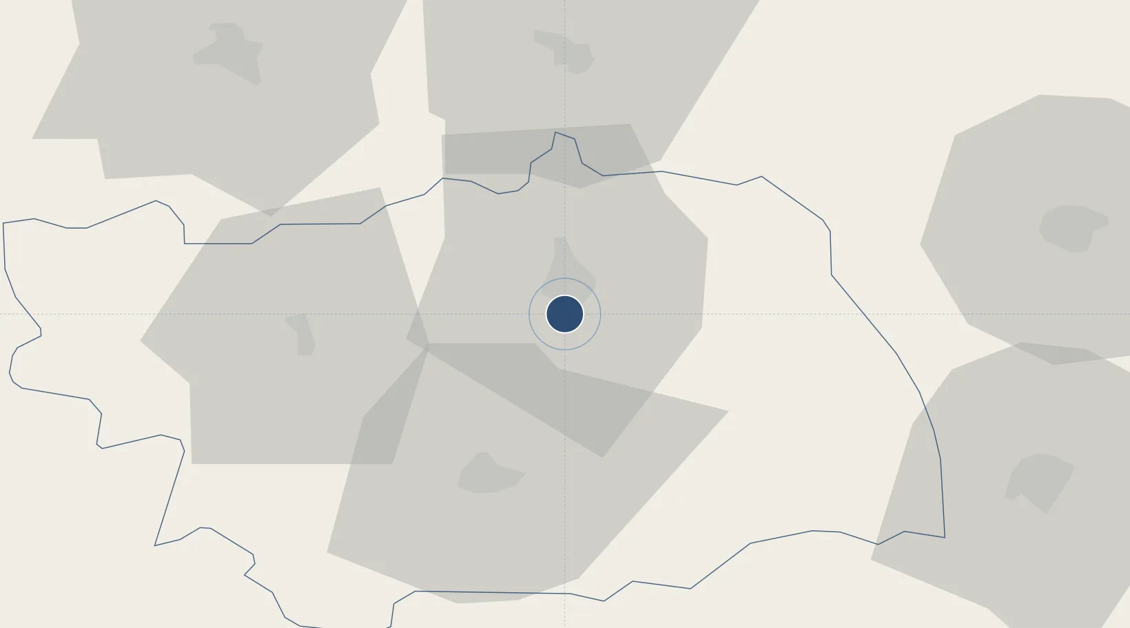
46.5219°, 26.9103°
8,203 ft
Longest runway
1
Runways
607 ft
Elevation

Runway & Layout

Bacău George Enescu International  Airport runway & taxiway layout
Runway & taxiway layout — OpenStreetMap (ODbL) / OurAirports

Radio Frequencies

TWR
118.6 MHz
APP
118.6 MHz
GCA
133.7 MHz
PRECISION
OurAirports

Navaids

BC NDB Bacau 426 kHz
BCU VOR-DME Bacau 109.40 MHz
OurAirports

Runways · 1

RunwayDimensions SurfaceTrue headingLit
16/34 8,203 × 262ft Concrete 165°
OurAirports

Airport Specifications

IATA code
BCM
OurAirports
ICAO code
LRBC
OurAirports
Airport class
Large airport
OurAirports
Scheduled service
Yes
OurAirports
Runway surface
Concrete
OurAirports
Served city
Bacău
OurAirports

Location

Location of LRBC
Natural Earth 10m (public domain) · Bacau · LRBC · 46.52, 26.91GoogleOSMYandex

Nearby Logistics Neighbours

Airports
  1. 1Iaşi International Airport91 km
  2. 2Cahul International Airport129 km
  3. 3Suceava Ștefan cel Mare International Airport136 km
  4. 4Brașov-Ghimbav International Airport140 km
  5. 5Boboc Air Base145 km
Nearest neighbours — logibook spatial index (haversine) over the source coordinates
Cities
  1. 1Bacau5 km
  2. 2Margineni9 km
  3. 3Moinesti32 km
  4. 4Roman44 km
  5. 5Piatra Soimului50 km
Nearest neighbours — logibook spatial index (haversine) over the source coordinates
Ports
  1. 1Galati153 km
  2. 2Reni162 km
  3. 3Braila164 km
  4. 4Izmayil200 km
  5. 5Tulcea211 km
Nearest neighbours — logibook spatial index (haversine) over the source coordinates
Trade Zones
  1. 1Free Enterprise Zone - Production Park Ungheni Business103 km
  2. 2Zona Economică Liberă Bălți117 km
  3. 3Free Zone Galați126 km
  4. 4VGP Park Brasov142 km
  5. 5Free Enterprise Zone - Production Park Taraclia151 km
Nearest neighbours — logibook spatial index (haversine) over the source coordinates
DatabookThe Record of Consolidated Knowledge
Romania beyond logistics?
Browse databook

All Sources

AirportsOurAirports
Public domain
Portsthe NGA World Port Index
Public domain (US gov)
LocationsUN/LOCODE
UN/LOCODE — free
Trade Zonesthe World Bank SEZ database
CC BY 4.0
Trade ZonesOpen Zone Map
CC BY
InfrastructureOpenStreetMap
ODbL 1.0
← Romania airports