Transport Functions
Multimodal
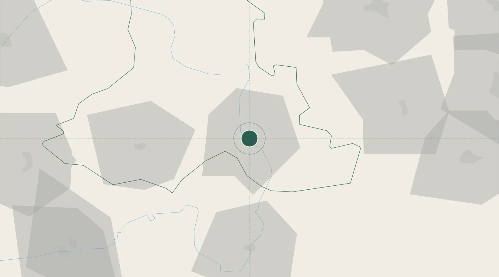
Hub Profile
Place type
Populated place
Region
Harghita County
Time zone
Europe/Bucharest
Elevation
1,334 m
Location
Nearby Logistics Neighbours
Cities
- 1Beclean39 km
- 2Odorheiu Secuiesc39 km
- 3Ciumani43 km
- 4Târgu Secuiesc47 km
- 5Ojdula54 km
Airports
Trade Zones
- 1VGP Park Brasov79 km
- 2Free Zone Galați144 km
- 3VGP Park Sibiu148 km
- 4Free Enterprise Zone - Production Park Ungheni Business181 km
- 5Zona Economică Liberă Bălți183 km
DatabookThe Record of Consolidated Knowledge
Romania beyond logistics?