UN/LOCODE hub · Romania
ROPRE

Prejmer

45.7167°, 25.7667°
8,106
Population
1
Transport functions

Transport Functions

Multimodal
UN/LOCODE

Hub Profile

Place type
Provincial seat
GeoNames
Region
Brașov County
GeoNames
Population
8,106
GeoNames
Time zone
Europe/Bucharest
GeoNames
Elevation
523 m
GeoNames

Location

Location of ROPRE
Natural Earth 10m (public domain) · Brașov County · ROPRE · 45.72, 25.77GoogleOSMYandex

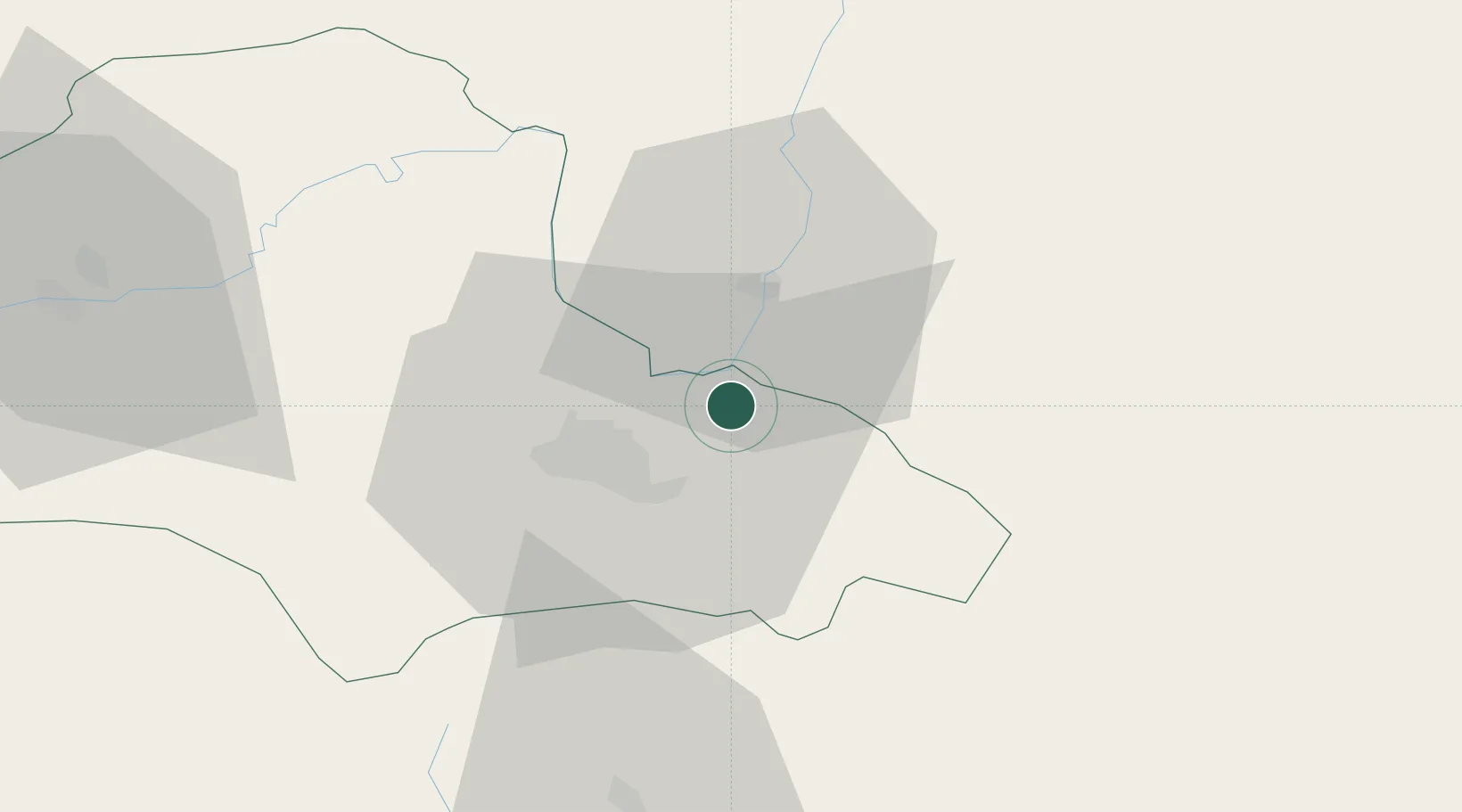
Nearby Logistics Neighbours

Cities
  1. 1Sacele13 km
  2. 2Sfantul-Gheorghe17 km
  3. 3Halchiu18 km
  4. 4Codlea25 km
  5. 5Zarnesti36 km
Nearest neighbours — logibook spatial index (haversine) over the source coordinates
Ports
  1. 1Braila180 km
  2. 2Galati183 km
  3. 3Reni200 km
  4. 4Cernavoda236 km
  5. 5Izmayil244 km
Nearest neighbours — logibook spatial index (haversine) over the source coordinates
Airports
  1. 1Brașov-Ghimbav International Airport19 km
  2. 2Boboc Air Base110 km
  3. 3Bacău George Enescu International Airport126 km
  4. 4Bucharest Henri Coandă International Airport130 km
  5. 5Sibiu International Airport131 km
Nearest neighbours — logibook spatial index (haversine) over the source coordinates
Trade Zones
  1. 1VGP Park Brasov18 km
  2. 2Free Zone Galați106 km
  3. 3VGP Park Sibiu132 km
  4. 4VGP Park Buharest North139 km
  5. 5Free zone Brăila179 km
Nearest neighbours — logibook spatial index (haversine) over the source coordinates
DatabookThe Record of Consolidated Knowledge
Romania beyond logistics?
Browse databook

All Sources

LocationsUN/LOCODE
UN/LOCODE — free
LocationsGeoNames
CC BY 4.0
Portsthe NGA World Port Index
Public domain (US gov)
AirportsOurAirports
Public domain
Trade Zonesthe World Bank SEZ database
CC BY 4.0
Trade ZonesOpen Zone Map
CC BY
← Romania locations