Transport Functions
Port
Multimodal
Hub Profile
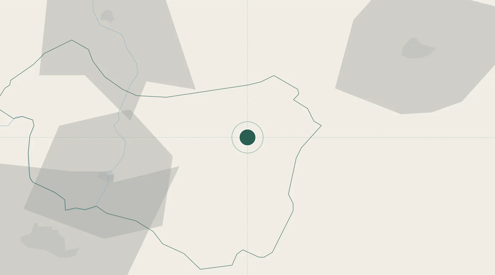
Place type
Provincial seat
Region
Covasna County
Population
3,464
Time zone
Europe/Bucharest
Elevation
589 m
Location
Nearby Logistics Neighbours
Cities
- 1Târgu Secuiesc9 km
- 2Pietroasele28 km
- 3Sfantul-Gheorghe38 km
- 4Prejmer48 km
- 5Harghita-Bai54 km
Airports
Trade Zones
- 1VGP Park Brasov65 km
- 2Free Zone Galați90 km
- 3Free zone Brăila156 km
- 4Giurgiulesti International Free Port162 km
- 5Reni Special Economic Zone169 km
DatabookThe Record of Consolidated Knowledge
Romania beyond logistics?