Transport Functions
Rail
Road
Hub Profile
Place type
Provincial seat
Region
Iași County
Population
13,797
Time zone
Europe/Bucharest
Elevation
104 m
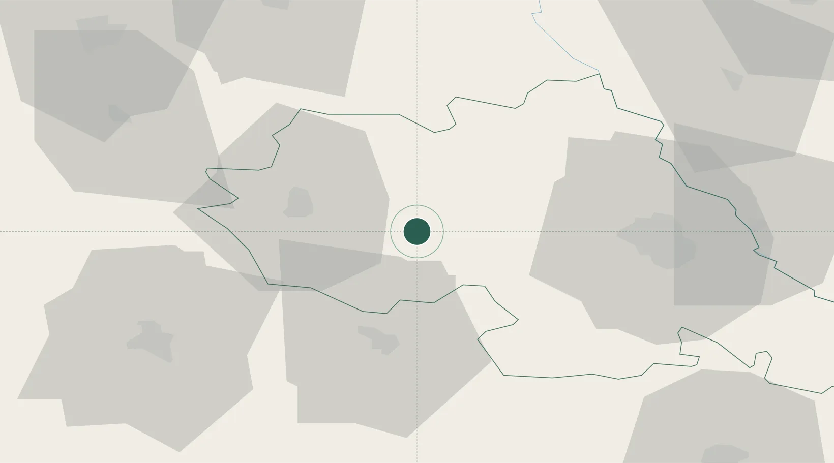
Location
Nearby Logistics Neighbours
Cities
- 1Sabaoani23 km
- 2Roman32 km
- 3Timisesti34 km
- 4Valea Lupului37 km
- 5Iasi46 km
Airports
DatabookThe Record of Consolidated Knowledge
Romania beyond logistics?