Transport Functions
Rail
Road
Hub Profile
Place type
Provincial seat
Region
Neamț County
Population
67,819
Time zone
Europe/Bucharest
Elevation
202 m
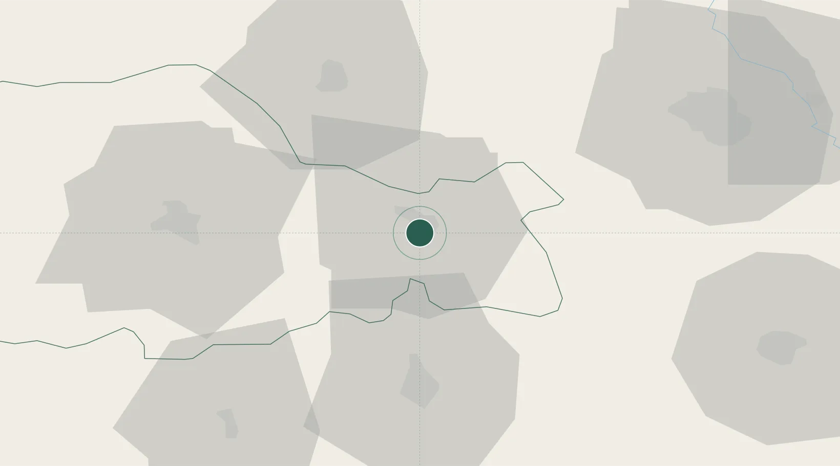
Location
Nearby Logistics Neighbours
Cities
- 1Sabaoani12 km
- 2Targu Frumos32 km
- 3Margineni35 km
- 4Piatra Soimului38 km
- 5Bacau39 km
Airports
DatabookThe Record of Consolidated Knowledge
Romania beyond logistics?