Large airport · Romania

Iaşi International AirportLRIA
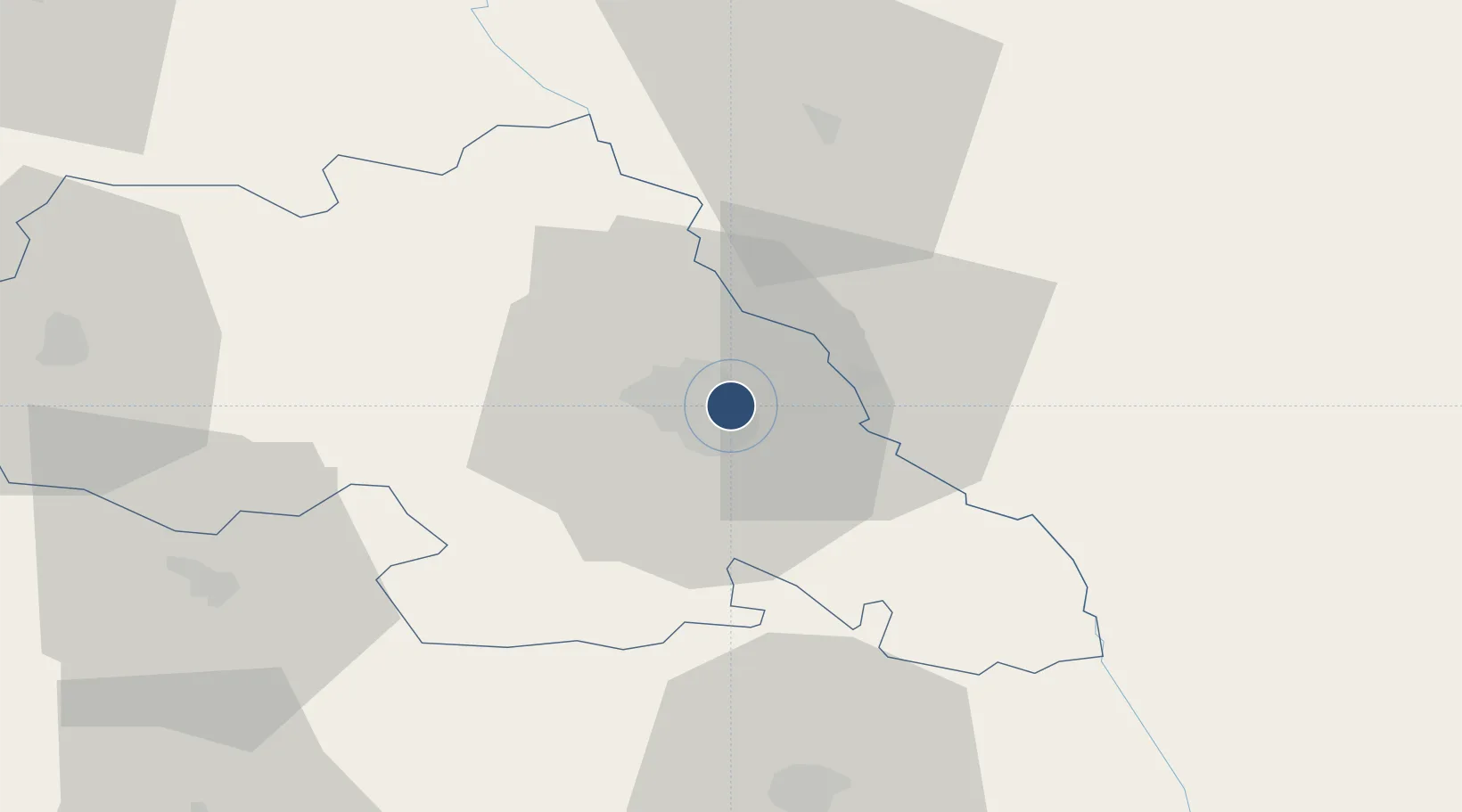
47.1796°, 27.6214°
7,874 ft
Longest runway
1
Runways
411 ft
Elevation

Runway & Layout

Iaşi International Airport runway & taxiway layout
Runway & taxiway layout — OpenStreetMap (ODbL) / OurAirports

Radio Frequencies

APP/DEP/TWR
119.2 MHz
CTR
128.61 MHz
GCA
118.8 MHz
PRECISION
TWR/APP/DEP
119.55 MHz
OurAirports

Navaids

IAS NDB Iasi 391 kHz
OurAirports

Runways · 1

RunwayDimensions SurfaceTrue headingLit
14/32 7,874 × 148ft Concrete 154°
OurAirports

Airport Specifications

IATA code
IAS
OurAirports
ICAO code
LRIA
OurAirports
Airport class
Large airport
OurAirports
Scheduled service
Yes
OurAirports
Runway surface
Concrete
OurAirports
Served city
Iaşi
OurAirports

Location

Location of LRIA
Natural Earth 10m (public domain) · Iasi · LRIA · 47.18, 27.62GoogleOSMYandex

Nearby Logistics Neighbours

Airports
  1. 1Bălți-Leadoveni International Airport74 km
  2. 2Mărculești Air Base88 km
  3. 3Bacău George Enescu International Airport91 km
  4. 4Chişinău International Airport103 km
  5. 5Suceava Ștefan cel Mare International Airport111 km
Nearest neighbours — logibook spatial index (haversine) over the source coordinates
Cities
  1. 1Iasi2 km
  2. 2Valea Lupului10 km
  3. 3Rediu31 km
  4. 4Falesti43 km
  5. 5Targu Frumos47 km
Nearest neighbours — logibook spatial index (haversine) over the source coordinates
Ports
  1. 1Galati199 km
  2. 2Reni201 km
  3. 3Braila216 km
  4. 4Izmayil226 km
  5. 5Belgorod-Dnestrovsky237 km
Nearest neighbours — logibook spatial index (haversine) over the source coordinates
DatabookThe Record of Consolidated Knowledge
Romania beyond logistics?
Browse databook

All Sources

AirportsOurAirports
Public domain
Portsthe NGA World Port Index
Public domain (US gov)
LocationsUN/LOCODE
UN/LOCODE — free
Trade Zonesthe World Bank SEZ database
CC BY 4.0
Trade ZonesOpen Zone Map
CC BY
InfrastructureOpenStreetMap
ODbL 1.0
← Romania airports