Transport Functions
Multimodal
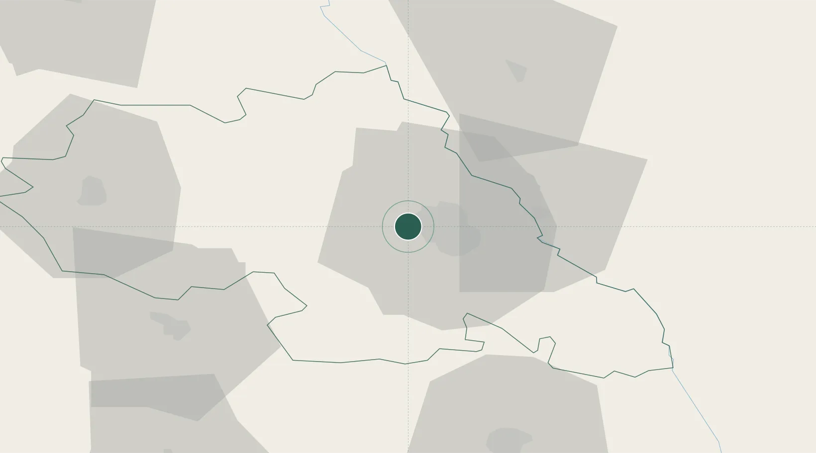
Hub Profile
Place type
Provincial seat
Region
Iași County
Population
2,078
Time zone
Europe/Bucharest
Elevation
91 m
Location
Nearby Logistics Neighbours
Cities
- 1Iasi9 km
- 2Rediu32 km
- 3Targu Frumos37 km
- 4Falesti46 km
- 5Sabaoani50 km
Ports
- 1Galati202 km
- 2Reni204 km
- 3Braila218 km
- 4Izmayil231 km
- 5Belgorod-Dnestrovsky246 km
Airports
DatabookThe Record of Consolidated Knowledge
Romania beyond logistics?