Medium airport · Moldova

Bălți-Leadoveni International AirportLUBL
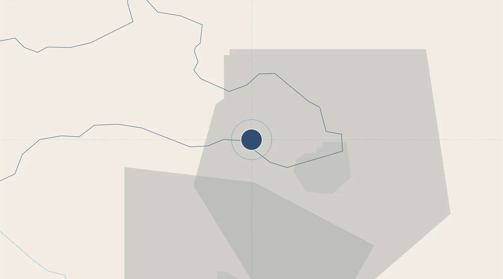
47.8377°, 27.7811°
7,251 ft
Longest runway
1
Runways
758 ft
Elevation

Runway & Layout

Bălți-Leadoveni International Airport runway & taxiway layout
Runway & taxiway layout — OpenStreetMap (ODbL) / OurAirports

Radio Frequencies

TWR
122.3 MHz
OurAirports

Navaids

BL NDB Balti 790 kHz
LC NDB Balti 790 kHz
OurAirports

Runways · 1

RunwayDimensions SurfaceTrue headingLit
15/33 7,251 × 140ft Concrete 153°
OurAirports

Airport Specifications

IATA code
BZY
OurAirports
ICAO code
LUBL
OurAirports
Airport class
Medium airport
OurAirports
Scheduled service
No
OurAirports
Runway surface
Concrete
OurAirports
Served city
Bălți
OurAirports

Location

Location of LUBL
Natural Earth 10m (public domain) · Rîşcani · LUBL · 47.84, 27.78GoogleOSMYandex

Nearby Logistics Neighbours

Airports
  1. 1Mărculești Air Base32 km
  2. 2Iaşi International Airport74 km
  3. 3Suceava Ștefan cel Mare International Airport108 km
  4. 4Chişinău International Airport133 km
  5. 5Chernivtsi International Airport142 km
Nearest neighbours — logibook spatial index (haversine) over the source coordinates
Cities
  1. 1Balti (Bel'cy)14 km
  2. 2Falesti31 km
  3. 3Bolotino38 km
  4. 4Kupchino42 km
  5. 5Bulboaca74 km
Nearest neighbours — logibook spatial index (haversine) over the source coordinates
Ports
  1. 1Belgorod-Dnestrovsky269 km
  2. 2Odesa269 km
  3. 3Galati270 km
  4. 4Reni270 km
  5. 5Illichivsk277 km
Nearest neighbours — logibook spatial index (haversine) over the source coordinates
DatabookThe Record of Consolidated Knowledge
Moldova beyond logistics?
Browse databook

All Sources

AirportsOurAirports
Public domain
Portsthe NGA World Port Index
Public domain (US gov)
LocationsUN/LOCODE
UN/LOCODE — free
Trade Zonesthe World Bank SEZ database
CC BY 4.0
Trade ZonesOpen Zone Map
CC BY
InfrastructureOpenStreetMap
ODbL 1.0
← Moldova airports