UN/LOCODE hub · Romania
ROTMT

Timisesti

47.2333°, 26.5500°
4,004
Population
1
Transport functions

Transport Functions

Multimodal
UN/LOCODE

Hub Profile

Place type
Provincial seat
GeoNames
Region
Neamț County
GeoNames
Population
4,004
GeoNames
Time zone
Europe/Bucharest
GeoNames
Elevation
277 m
GeoNames

Location

Location of ROTMT
Natural Earth 10m (public domain) · Neamț County · ROTMT · 47.23, 26.55GoogleOSMYandex

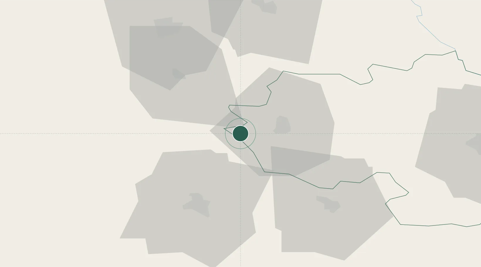
Nearby Logistics Neighbours

Cities
  1. 1Targu Neamt14 km
  2. 2Vanatori Neamt18 km
  3. 3Sabaoani34 km
  4. 4Targu Frumos34 km
  5. 5Malini42 km
Nearest neighbours — logibook spatial index (haversine) over the source coordinates
Ports
  1. 1Galati234 km
  2. 2Reni241 km
  3. 3Braila247 km
  4. 4Izmayil275 km
  5. 5Tulcea289 km
Nearest neighbours — logibook spatial index (haversine) over the source coordinates
Airports
  1. 1Suceava Ștefan cel Mare International Airport53 km
  2. 2Iaşi International Airport81 km
  3. 3Bacău George Enescu International Airport84 km
  4. 4Bălți-Leadoveni International Airport114 km
  5. 5Chernivtsi International Airport122 km
Nearest neighbours — logibook spatial index (haversine) over the source coordinates
DatabookThe Record of Consolidated Knowledge
Romania beyond logistics?
Browse databook

All Sources

LocationsUN/LOCODE
UN/LOCODE — free
LocationsGeoNames
CC BY 4.0
Portsthe NGA World Port Index
Public domain (US gov)
AirportsOurAirports
Public domain
Trade Zonesthe World Bank SEZ database
CC BY 4.0
Trade ZonesOpen Zone Map
CC BY
← Romania locations