Large airport · Romania

Suceava Ștefan cel Mare International AirportLRSV
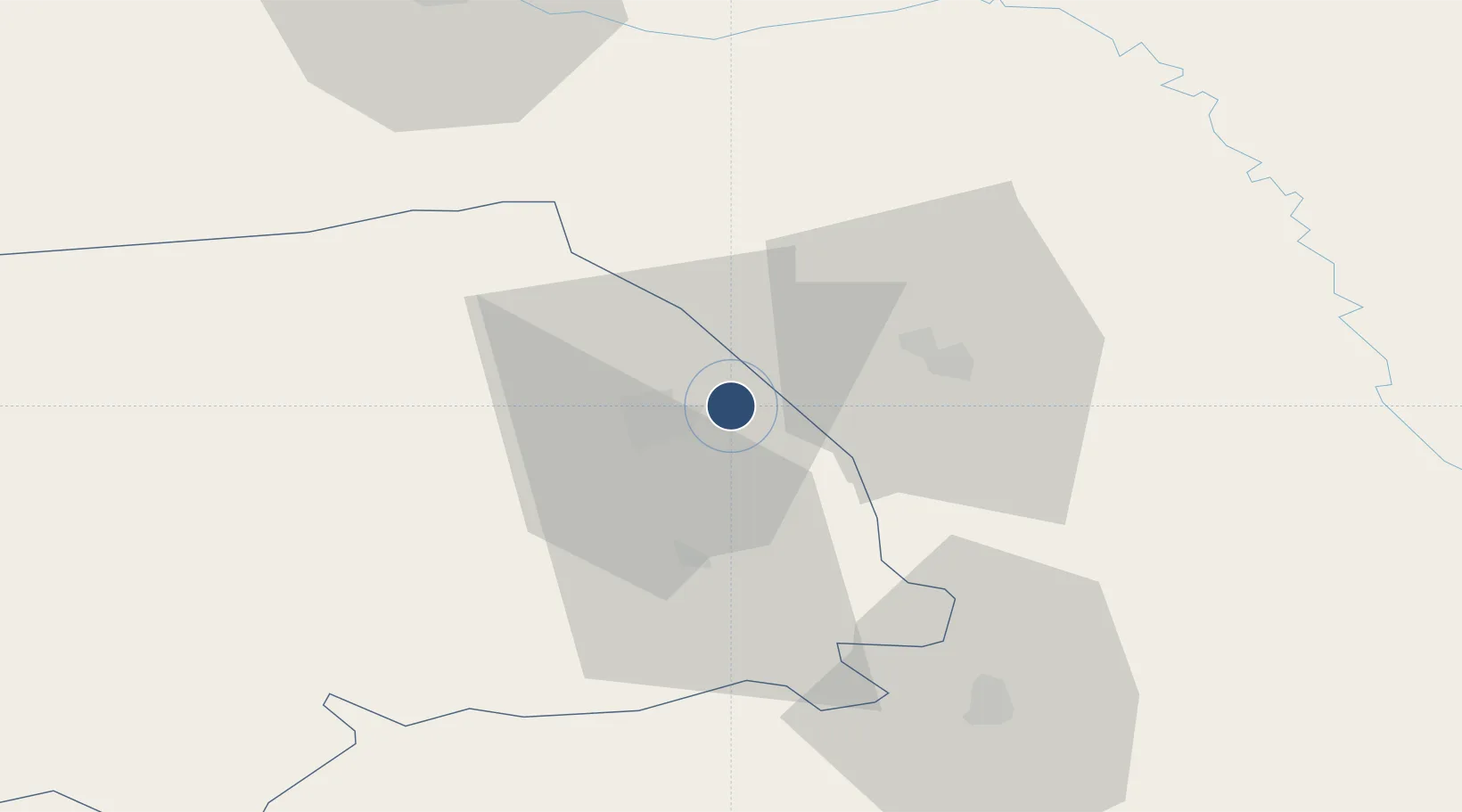
47.6875°, 26.3541°
8,070 ft
Longest runway
1
Runways
1,375 ft
Elevation

Runway & Layout

Suceava Ștefan cel Mare International Airport runway & taxiway layout
Runway & taxiway layout — OpenStreetMap (ODbL) / OurAirports

Radio Frequencies

TWR
118.3 MHz
GCA
120.9 MHz
PRECISION
OurAirports

Navaids

SCV VOR-DME Suceava 112.30 MHz
OurAirports

Runways · 1

RunwayDimensions SurfaceTrue headingLit
16/34 8,070 × 148ft Concrete 163°
OurAirports

Airport Specifications

IATA code
SCV
OurAirports
ICAO code
LRSV
OurAirports
Airport class
Large airport
OurAirports
Scheduled service
Yes
OurAirports
Runway surface
Concrete
OurAirports
Served city
Suceava
OurAirports

Location

Location of LRSV
Natural Earth 10m (public domain) · Suceava · LRSV · 47.69, 26.35GoogleOSMYandex

Nearby Logistics Neighbours

Airports
  1. 1Chernivtsi International Airport69 km
  2. 2Bălți-Leadoveni International Airport108 km
  3. 3Iaşi International Airport111 km
  4. 4Bacău George Enescu International Airport136 km
  5. 5Mărculești Air Base140 km
Nearest neighbours — logibook spatial index (haversine) over the source coordinates
Cities
  1. 1Prelipca10 km
  2. 2Scheia10 km
  3. 3Slobozia Sucevei23 km
  4. 4Malini33 km
  5. 5Gura Humorului37 km
Nearest neighbours — logibook spatial index (haversine) over the source coordinates
Ports
  1. 1Galati285 km
  2. 2Reni292 km
  3. 3Braila298 km
  4. 4Izmayil324 km
  5. 5Tulcea338 km
Nearest neighbours — logibook spatial index (haversine) over the source coordinates
DatabookThe Record of Consolidated Knowledge
Romania beyond logistics?
Browse databook

All Sources

AirportsOurAirports
Public domain
Portsthe NGA World Port Index
Public domain (US gov)
LocationsUN/LOCODE
UN/LOCODE — free
Trade Zonesthe World Bank SEZ database
CC BY 4.0
Trade ZonesOpen Zone Map
CC BY
InfrastructureOpenStreetMap
ODbL 1.0
← Romania airports