Transport Functions
Rail
Road
Airport
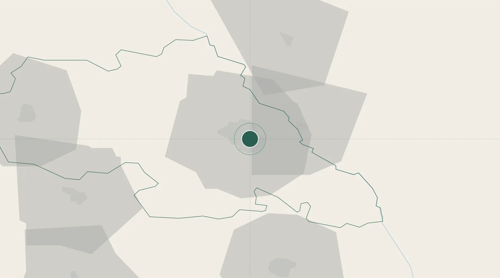
Hub Profile
Place type
Regional capital
Region
Iași County
Population
378,954
Time zone
Europe/Bucharest
Elevation
66 m
Location
Nearby Logistics Neighbours
Cities
- 1Valea Lupului9 km
- 2Rediu30 km
- 3Falesti45 km
- 4Targu Frumos46 km
- 5Sabaoani58 km
Ports
- 1Galati198 km
- 2Reni200 km
- 3Braila215 km
- 4Izmayil225 km
- 5Belgorod-Dnestrovsky238 km
Airports
DatabookThe Record of Consolidated Knowledge
Romania beyond logistics?