UN/LOCODE hub · Romania
ROTDA

Turda

46.5667°, 23.7833°
43,319
Population
2
Transport functions

Transport Functions

Rail
Road
UN/LOCODE

Hub Profile

Place type
Populated place
GeoNames
Region
Cluj County
GeoNames
Population
43,319
GeoNames
Time zone
Europe/Bucharest
GeoNames
Elevation
324 m
GeoNames
Logistics facilities
1
UN/LOCODE

Location

Location of ROTDA
Natural Earth 10m (public domain) · Cluj County · ROTDA · 46.57, 23.78GoogleOSMYandex

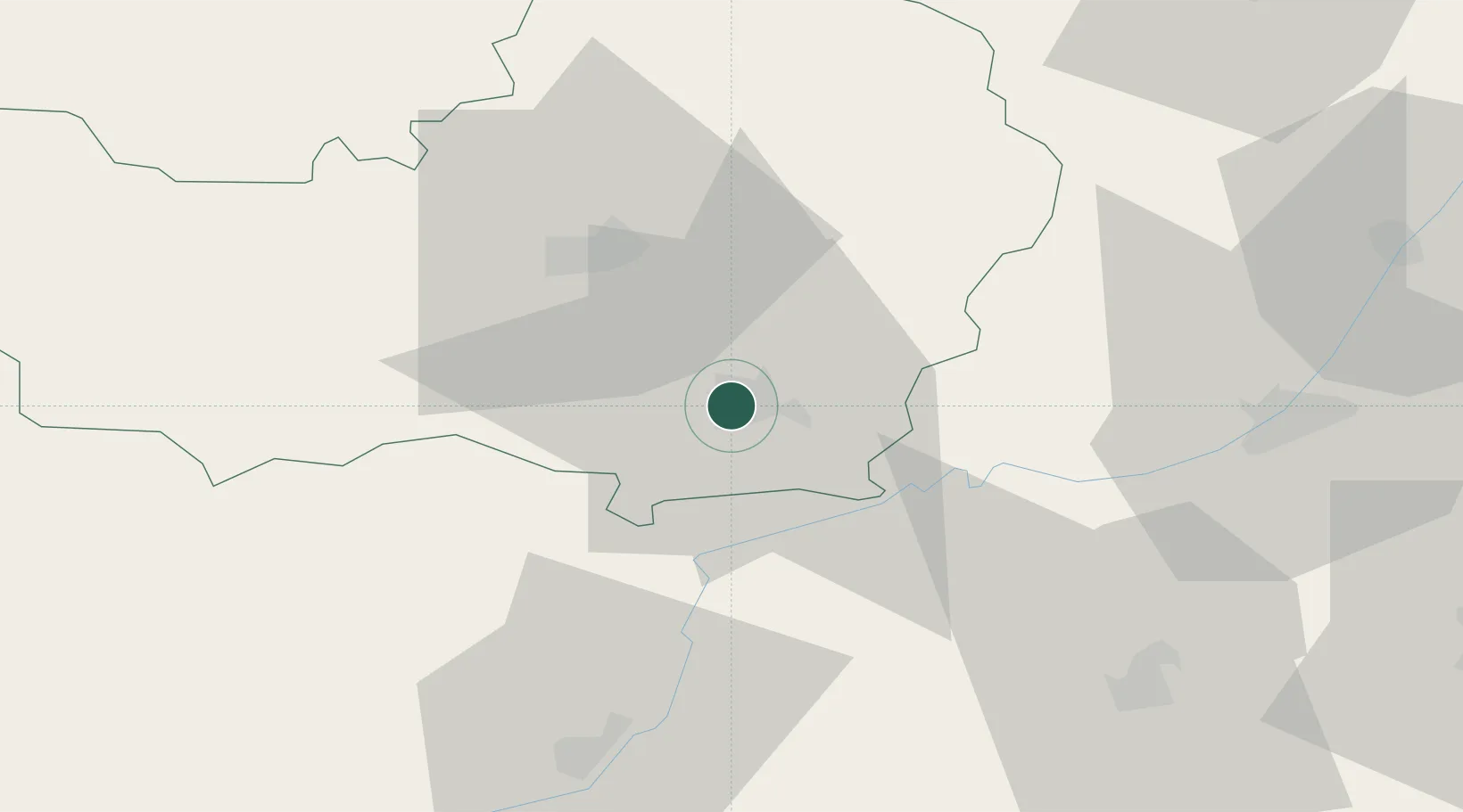
Nearby Logistics Neighbours

Cities
  1. 1Tureni9 km
  2. 2Unirea19 km
  3. 3Ludus26 km
  4. 4Cluj-Napoca26 km
  5. 5Jucu-Herghelia32 km
Nearest neighbours — logibook spatial index (haversine) over the source coordinates
Ports
  1. 1Galati356 km
  2. 2Braila356 km
  3. 3Reni371 km
  4. 4Izmayil415 km
  5. 5Cernavoda415 km
Nearest neighbours — logibook spatial index (haversine) over the source coordinates
Airports
  1. 1Câmpia Turzii Air Base11 km
  2. 2Avram Iancu Cluj International Airport26 km
  3. 3Târgu Mureş Transilvania International Airport49 km
  4. 4Sibiu International Airport90 km
  5. 5Maramureș International Airport124 km
Nearest neighbours — logibook spatial index (haversine) over the source coordinates
Trade Zones
  1. 1VGP Park Sibiu90 km
  2. 2VGP Park Brasov170 km
  3. 3Free Zone Curtici Arad193 km
  4. 4VGP Park Arad200 km
  5. 5VGP Park Timisoara218 km
Nearest neighbours — logibook spatial index (haversine) over the source coordinates
DatabookThe Record of Consolidated Knowledge
Romania beyond logistics?
Browse databook

All Sources

LocationsUN/LOCODE
UN/LOCODE — free
LocationsGeoNames
CC BY 4.0
Portsthe NGA World Port Index
Public domain (US gov)
AirportsOurAirports
Public domain
Trade Zonesthe World Bank SEZ database
CC BY 4.0
Trade ZonesOpen Zone Map
CC BY
← Romania locations