Transport Functions
Rail
Airport
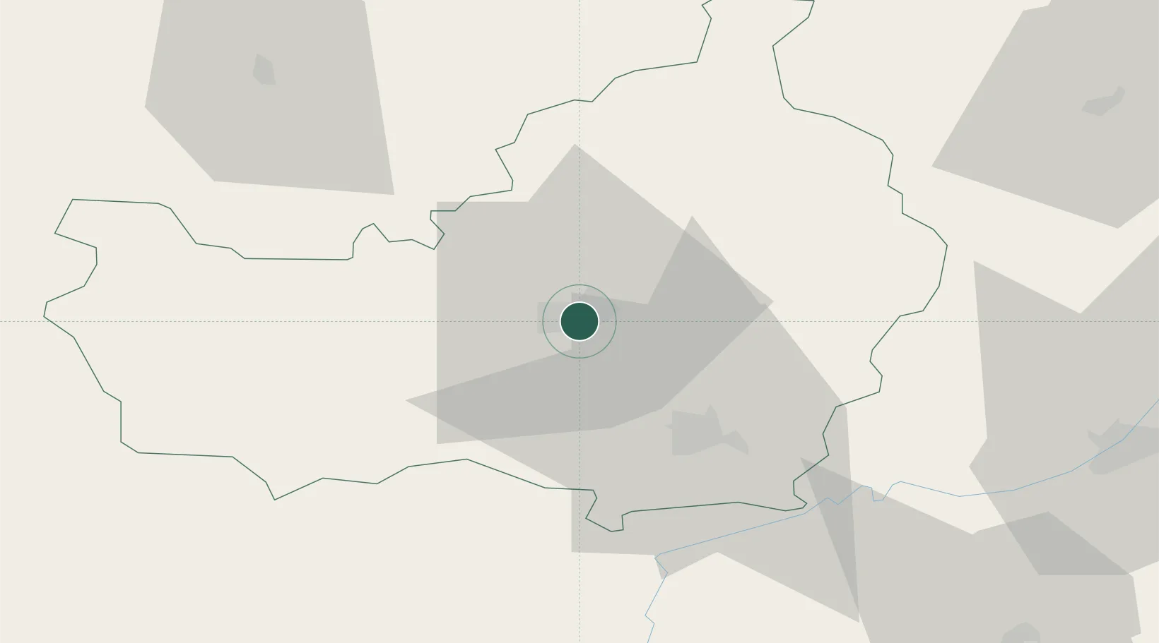
Hub Profile
Place type
Regional capital
Region
Cluj County
Population
286,598
Time zone
Europe/Bucharest
Elevation
352 m
Location
Nearby Logistics Neighbours
Cities
- 1Baciu, Cluj7 km
- 2Jucu-Herghelia18 km
- 3Tureni18 km
- 4Turda26 km
- 5Gherla36 km
Airports
Trade Zones
- 1VGP Park Sibiu115 km
- 2Free Zone Curtici Arad183 km
- 3VGP Park Arad193 km
- 4VGP Park Brasov194 km
- 5Customs Free Zone Zahony212 km
DatabookThe Record of Consolidated Knowledge
Romania beyond logistics?