UN/LOCODE hub · Romania
RORZK

Jucu-Herghelia

46.8500°, 23.8000°
1
Transport functions

Transport Functions

Multimodal
UN/LOCODE

Hub Profile

Region
CJ
GeoNames

Location

Location of RORZK
Natural Earth 10m (public domain) · CJ · RORZK · 46.85, 23.80GoogleOSMYandex

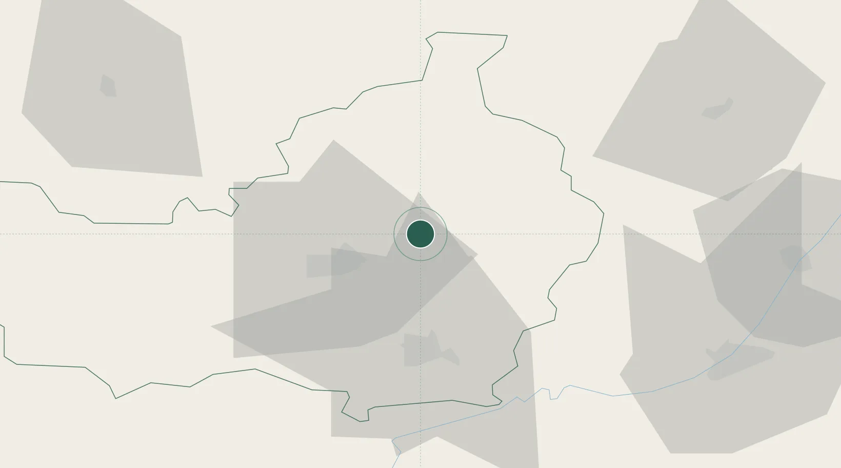
Nearby Logistics Neighbours

Cities
  1. 1Cluj-Napoca18 km
  2. 2Gherla20 km
  3. 3Baciu, Cluj22 km
  4. 4Tureni27 km
  5. 5Turda32 km
Nearest neighbours — logibook spatial index (haversine) over the source coordinates
Ports
  1. 1Galati367 km
  2. 2Braila369 km
  3. 3Reni381 km
  4. 4Izmayil424 km
  5. 5Tulcea430 km
Nearest neighbours — logibook spatial index (haversine) over the source coordinates
Airports
  1. 1Avram Iancu Cluj International Airport11 km
  2. 2Câmpia Turzii Air Base39 km
  3. 3Târgu Mureş Transilvania International Airport63 km
  4. 4Maramureș International Airport93 km
  5. 5Satu Mare International Airport117 km
Nearest neighbours — logibook spatial index (haversine) over the source coordinates
Trade Zones
  1. 1VGP Park Sibiu120 km
  2. 2VGP Park Brasov189 km
  3. 3Free Zone Curtici Arad200 km
  4. 4VGP Park Arad210 km
  5. 5Customs Free Zone Zahony212 km
Nearest neighbours — logibook spatial index (haversine) over the source coordinates
DatabookThe Record of Consolidated Knowledge
Romania beyond logistics?
Browse databook

All Sources

LocationsUN/LOCODE
UN/LOCODE — free
Portsthe NGA World Port Index
Public domain (US gov)
AirportsOurAirports
Public domain
Trade Zonesthe World Bank SEZ database
CC BY 4.0
Trade ZonesOpen Zone Map
CC BY
← Romania locations