UN/LOCODE hub · Romania
ROBCU

Baciu, Cluj

46.8000°, 23.5167°
2
Transport functions

Transport Functions

Rail
Road
UN/LOCODE

Hub Profile

Region
CJ
GeoNames

Location

Location of ROBCU
Natural Earth 10m (public domain) · CJ · ROBCU · 46.80, 23.52GoogleOSMYandex

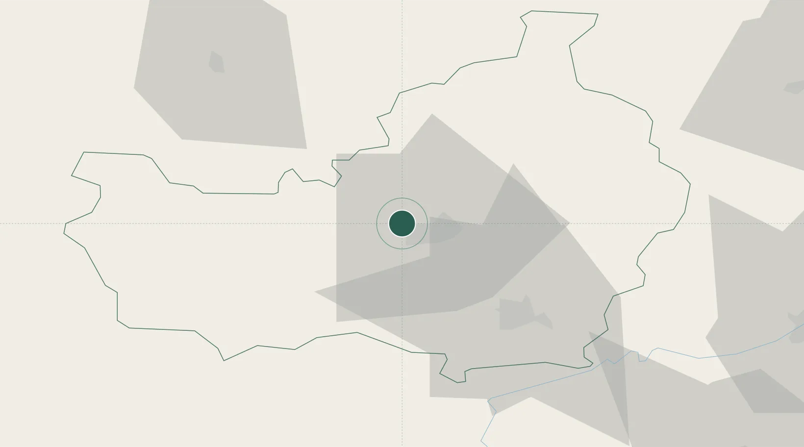
Nearby Logistics Neighbours

Cities
  1. 1Cluj-Napoca7 km
  2. 2Jucu-Herghelia22 km
  3. 3Tureni25 km
  4. 4Turda33 km
  5. 5Huedin36 km
Nearest neighbours — logibook spatial index (haversine) over the source coordinates
Ports
  1. 1Galati384 km
  2. 2Braila386 km
  3. 3Reni399 km
  4. 4Izmayil443 km
  5. 5Cernavoda447 km
Nearest neighbours — logibook spatial index (haversine) over the source coordinates
Airports
  1. 1Avram Iancu Cluj International Airport13 km
  2. 2Câmpia Turzii Air Base44 km
  3. 3Târgu Mureş Transilvania International Airport78 km
  4. 4Maramureș International Airport96 km
  5. 5Satu Mare International Airport111 km
Nearest neighbours — logibook spatial index (haversine) over the source coordinates
Trade Zones
  1. 1VGP Park Sibiu121 km
  2. 2Free Zone Curtici Arad178 km
  3. 3VGP Park Arad188 km
  4. 4VGP Park Brasov202 km
  5. 5Customs Free Zone Zahony205 km
Nearest neighbours — logibook spatial index (haversine) over the source coordinates
DatabookThe Record of Consolidated Knowledge
Romania beyond logistics?
Browse databook

All Sources

LocationsUN/LOCODE
UN/LOCODE — free
Portsthe NGA World Port Index
Public domain (US gov)
AirportsOurAirports
Public domain
Trade Zonesthe World Bank SEZ database
CC BY 4.0
Trade ZonesOpen Zone Map
CC BY
← Romania locations