Transport Functions
Road
Multimodal
Hub Profile
Place type
Provincial seat
Region
Cluj County
Population
23,741
Time zone
Europe/Bucharest
Elevation
250 m
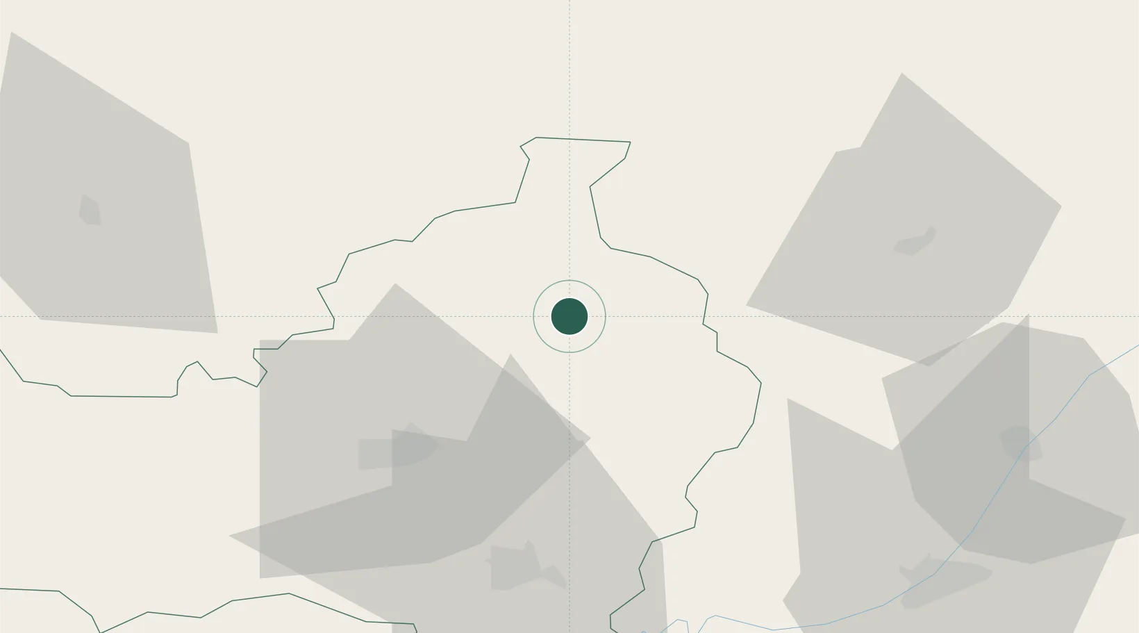
Location
Nearby Logistics Neighbours
Cities
- 1Jucu-Herghelia20 km
- 2Cluj-Napoca36 km
- 3Baciu, Cluj38 km
- 4Tureni47 km
- 5Barla49 km
Airports
Trade Zones
- 1VGP Park Sibiu138 km
- 2VGP Park Brasov197 km
- 3Customs Free Zone Zahony202 km
- 4Free Zone Curtici Arad213 km
- 5Transcarpathian Special Economic Zone (Zakarpattia)215 km
DatabookThe Record of Consolidated Knowledge
Romania beyond logistics?