Transport Functions
Road
Multimodal
Hub Profile
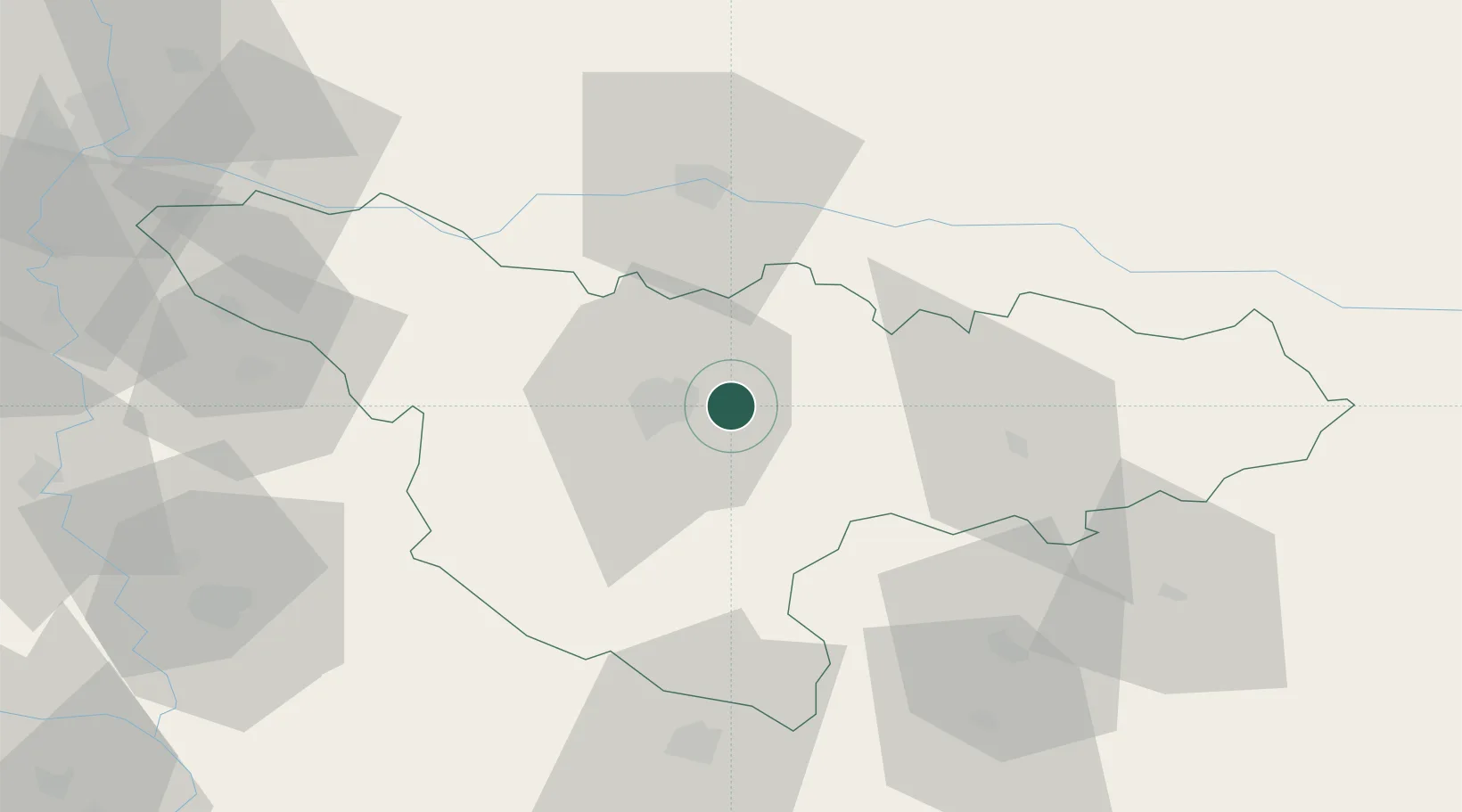
Place type
Provincial seat
Region
Timiș County
Population
3,473
Time zone
Europe/Bucharest
Elevation
96 m
Location
Nearby Logistics Neighbours
Airports
Trade Zones
- 1VGP Park Timisoara15 km
- 2VGP Park Arad47 km
- 3Free Zone Curtici Arad65 km
- 4Zrenjanin Free Zone88 km
- 5Beograd Free Zone125 km
DatabookThe Record of Consolidated Knowledge
Romania beyond logistics?