Transport Functions
Rail
Road
Hub Profile
Place type
Provincial seat
Region
Timiș County
Population
8,508
Time zone
Europe/Bucharest
Elevation
104 m
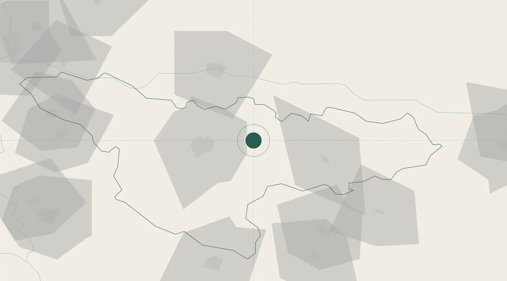
Location
Nearby Logistics Neighbours
Cities
- 1Izvin5 km
- 2Remetea Mare12 km
- 3Bacova17 km
- 4Buzias18 km
- 5Lugoj33 km
Airports
Trade Zones
- 1VGP Park Timisoara26 km
- 2VGP Park Arad47 km
- 3Free Zone Curtici Arad64 km
- 4Zrenjanin Free Zone100 km
- 5Smederevo Free Zone134 km
DatabookThe Record of Consolidated Knowledge
Romania beyond logistics?