Transport Functions
Rail
Road
Hub Profile
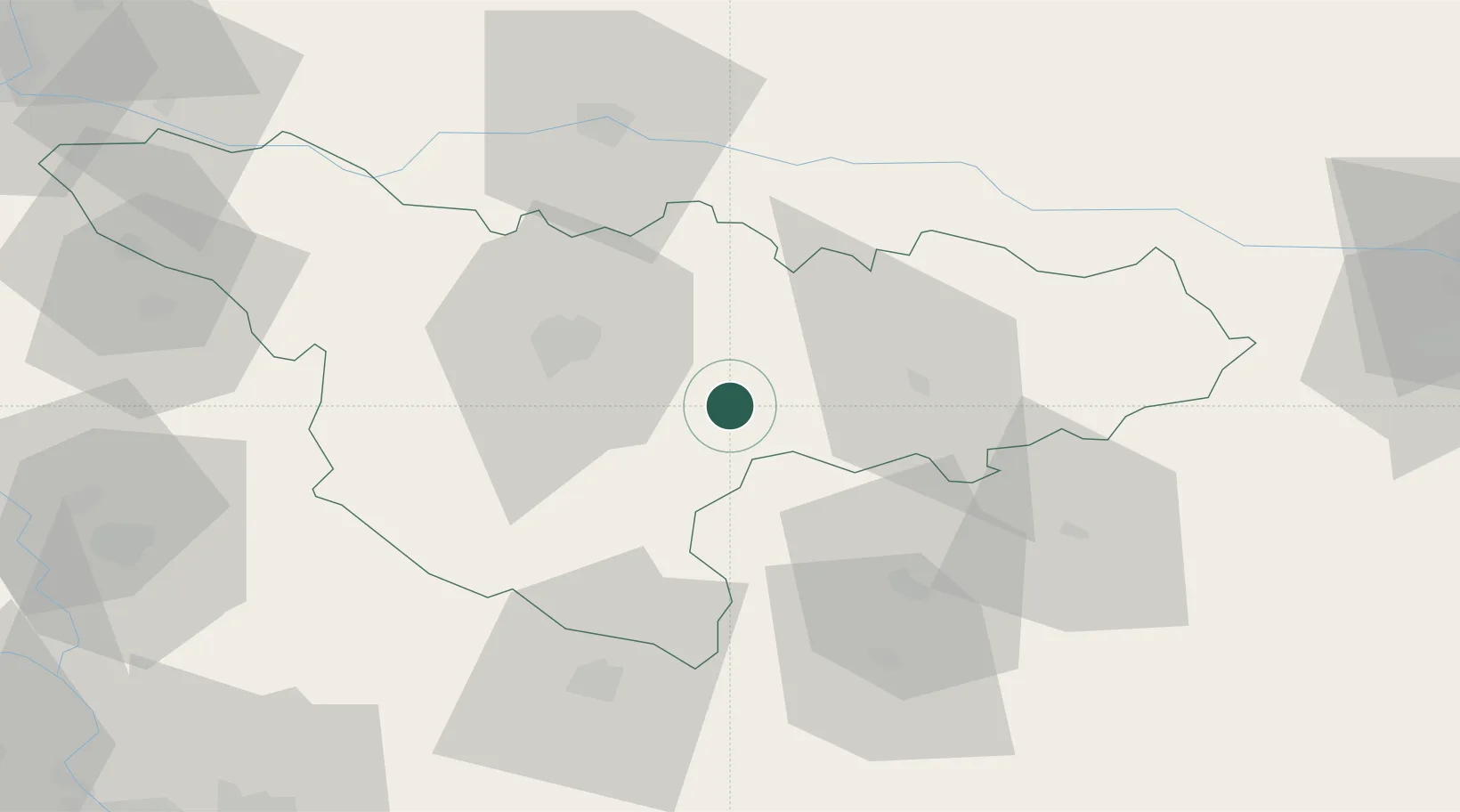
Place type
Populated place
Region
Timiș County
Population
1,424
Time zone
Europe/Bucharest
Elevation
115 m
Location
Nearby Logistics Neighbours
Cities
- 1Buzias5 km
- 2Recas17 km
- 3Izvin18 km
- 4Remetea Mare19 km
- 5Lugoj27 km
Airports
Trade Zones
- 1VGP Park Timisoara33 km
- 2VGP Park Arad63 km
- 3Free Zone Curtici Arad81 km
- 4Zrenjanin Free Zone96 km
- 5Smederevo Free Zone119 km
DatabookThe Record of Consolidated Knowledge
Romania beyond logistics?