Transport Functions
Rail
Road
Hub Profile
Place type
Provincial seat
Region
Timiș County
Population
7,625
Time zone
Europe/Bucharest
Elevation
125 m
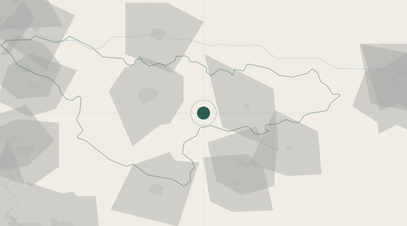
Location
Nearby Logistics Neighbours
Cities
- 1Bacova5 km
- 2Recas18 km
- 3Izvin21 km
- 4Lugoj22 km
- 5Remetea Mare23 km
Airports
Trade Zones
- 1VGP Park Timisoara38 km
- 2VGP Park Arad65 km
- 3Free Zone Curtici Arad82 km
- 4Zrenjanin Free Zone101 km
- 5Smederevo Free Zone122 km
DatabookThe Record of Consolidated Knowledge
Romania beyond logistics?