Transport Functions
Rail
Airport
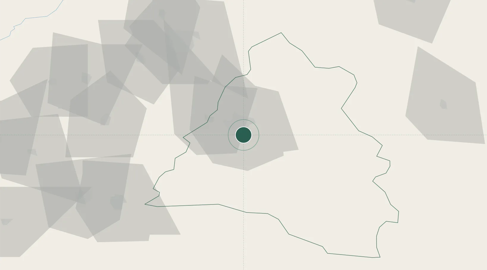
Hub Profile
Place type
Regional capital
Region
Bihor County
Population
183,105
Time zone
Europe/Bucharest
Elevation
126 m
Logistics facilities
1
Location
Nearby Logistics Neighbours
Cities
- 1Episcopia Bihorului9 km
- 2Tileagd18 km
- 3Salard21 km
- 4Biharkeresztes22 km
- 5Tetchea27 km
Airports
Trade Zones
- 1Free Zone Curtici Arad92 km
- 2VGP Park Arad111 km
- 3VGP Park Timisoara151 km
- 4Customs Free Zone Zahony152 km
- 5Transcarpathian Special Economic Zone (Zakarpattia)178 km
DatabookThe Record of Consolidated Knowledge
Romania beyond logistics?