Transport Functions
Rail
Hub Profile
Place type
Urban district
Region
Bihor County
Time zone
Europe/Bucharest
Elevation
112 m
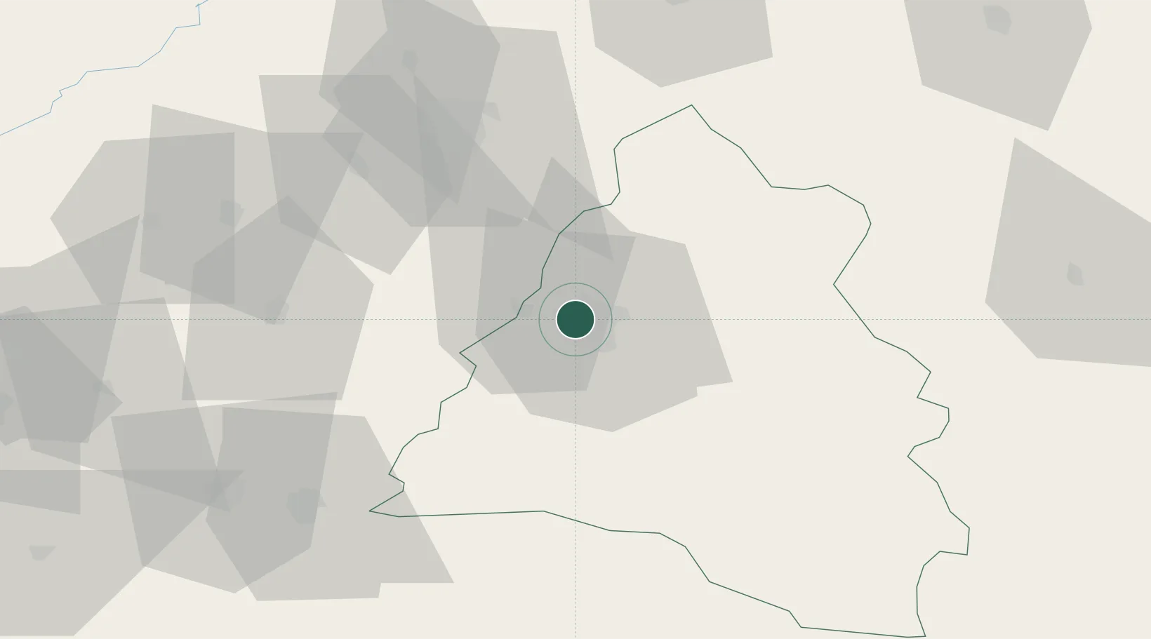
Location
Nearby Logistics Neighbours
Cities
- 1Oradea9 km
- 2Biharkeresztes14 km
- 3Salard17 km
- 4Tileagd23 km
- 5Berettyóújfalu31 km
Airports
Trade Zones
- 1Free Zone Curtici Arad96 km
- 2VGP Park Arad115 km
- 3Customs Free Zone Zahony146 km
- 4VGP Park Timisoara156 km
- 5Transcarpathian Special Economic Zone (Zakarpattia)172 km
DatabookThe Record of Consolidated Knowledge
Romania beyond logistics?