Transport Functions
Rail
Road
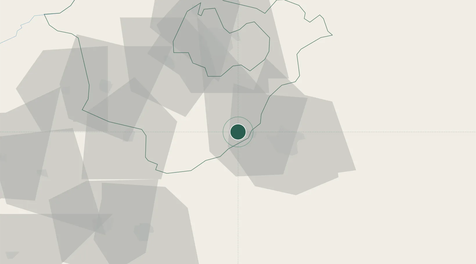
Hub Profile
Place type
Populated place
Region
Hajdú-Bihar
Population
4,237
Time zone
Europe/Budapest
Elevation
98 m
Location
Nearby Logistics Neighbours
Cities
- 1Episcopia Bihorului14 km
- 2Berettyóújfalu17 km
- 3Oradea22 km
- 4Salard27 km
- 5Tileagd37 km
Airports
- 1Oradea International Airport19 km
- 2Debrecen International Airport40 km
- 3Satu Mare International Airport108 km
- 4Arad International Airport112 km
- 5Szolnok Air Base112 km
Trade Zones
- 1Free Zone Curtici Arad93 km
- 2VGP Park Arad113 km
- 3Customs Free Zone Zahony145 km
- 4VGP Park Timisoara155 km
- 5Transcarpathian Special Economic Zone (Zakarpattia)171 km
DatabookThe Record of Consolidated Knowledge
Hungary beyond logistics?