UN/LOCODE hub · Romania
RONTP
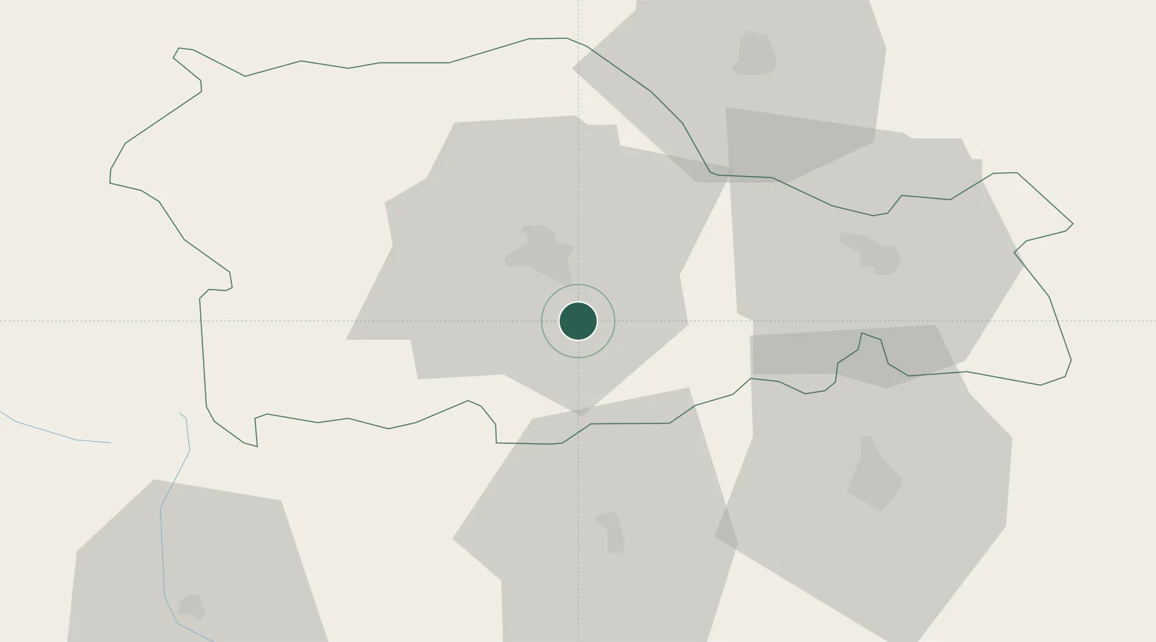
Piatra Soimului
46.8333°, 26.4333°
7,848
Population
1
Transport functions
Transport Functions
Multimodal
Hub Profile
Place type
Provincial seat
Region
Neamț County
Population
7,848
Time zone
Europe/Bucharest
Elevation
325 m
Location
Nearby Logistics Neighbours
DatabookThe Record of Consolidated Knowledge
Romania beyond logistics?