Transport Functions
Multimodal
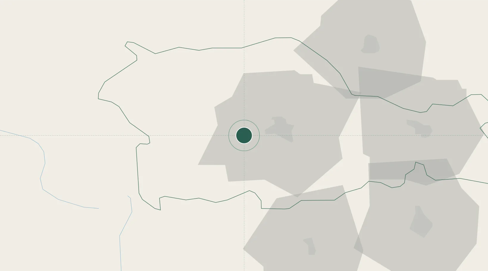
Hub Profile
Place type
Populated place
Region
Neamț County
Population
889
Time zone
Europe/Bucharest
Elevation
362 m
Location
Nearby Logistics Neighbours
Cities
- 1Piatra Soimului18 km
- 2Vanatori Neamt32 km
- 3Targu Neamt33 km
- 4Tulghes36 km
- 5Timisesti43 km
Airports
Trade Zones
DatabookThe Record of Consolidated Knowledge
Romania beyond logistics?