Transport Functions
Rail
Road
Hub Profile
Place type
Provincial seat
Region
Bacău County
Population
23,981
Time zone
Europe/Bucharest
Elevation
476 m
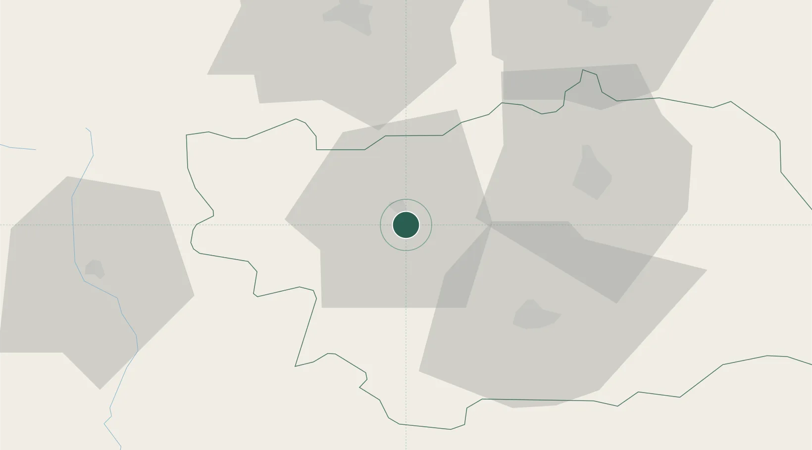
Location
Nearby Logistics Neighbours
Cities
- 1Bacau32 km
- 2Margineni34 km
- 3Piatra Soimului41 km
- 4Pietroasele41 km
- 5Vaduri54 km
Airports
Trade Zones
DatabookThe Record of Consolidated Knowledge
Romania beyond logistics?