Transport Functions
Rail
Road
Hub Profile
Place type
Provincial seat
Region
Hunedoara County
Population
13,827
Time zone
Europe/Bucharest
Elevation
200 m
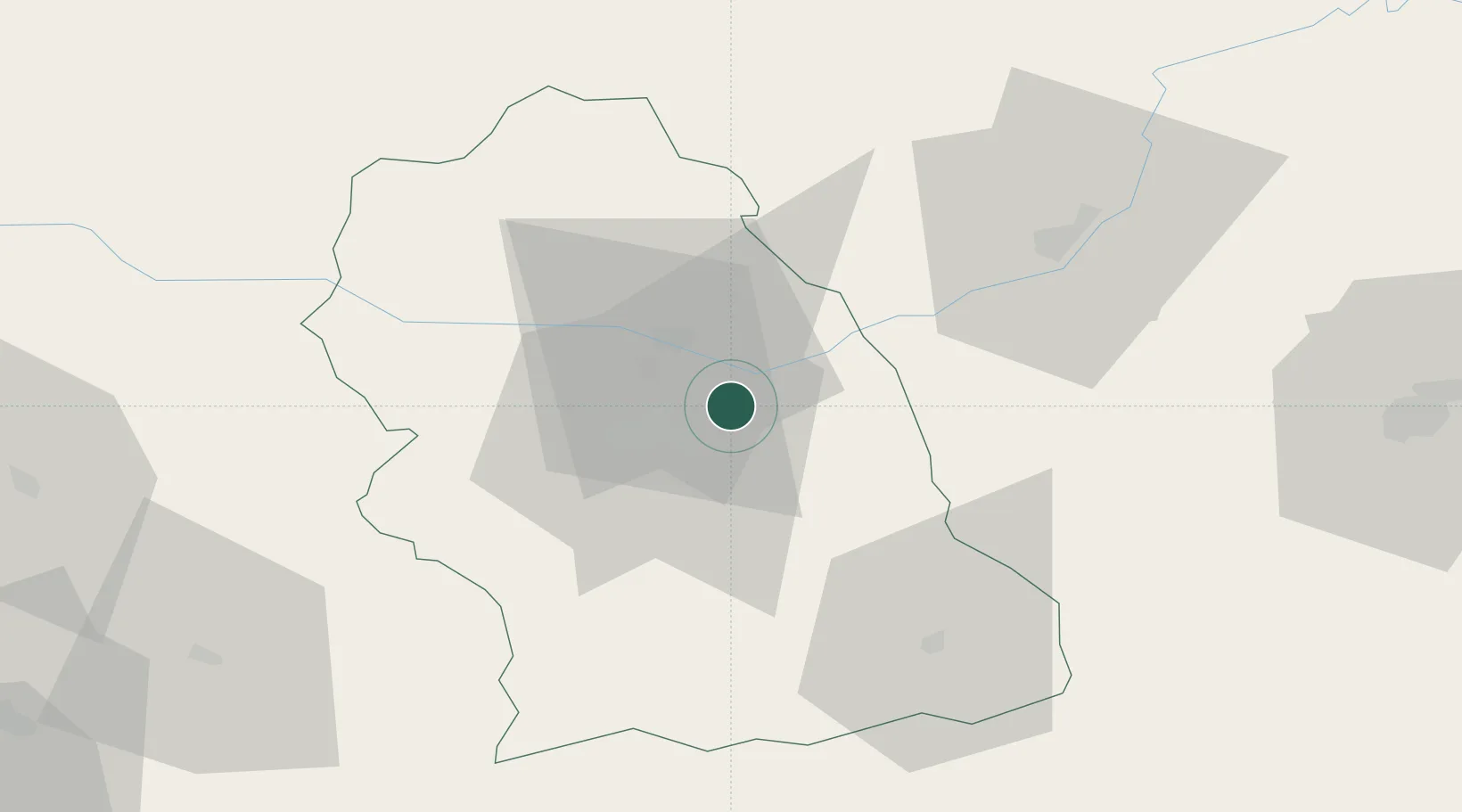
Location
Nearby Logistics Neighbours
Cities
- 1Mintia20 km
- 2Bocsa21 km
- 3Hateg, Hunedoara24 km
- 4Brad, Hunedoara39 km
- 5Lancram43 km
Airports
Trade Zones
- 1VGP Park Sibiu79 km
- 2VGP Park Timisoara145 km
- 3VGP Park Arad146 km
- 4Free Zone Curtici Arad149 km
- 5VGP Park Brasov195 km
DatabookThe Record of Consolidated Knowledge
Romania beyond logistics?