Transport Functions
Multimodal
Hub Profile
Place type
Regional capital
Region
Guairá
Population
41,157
Time zone
America/Asuncion
Elevation
143 m
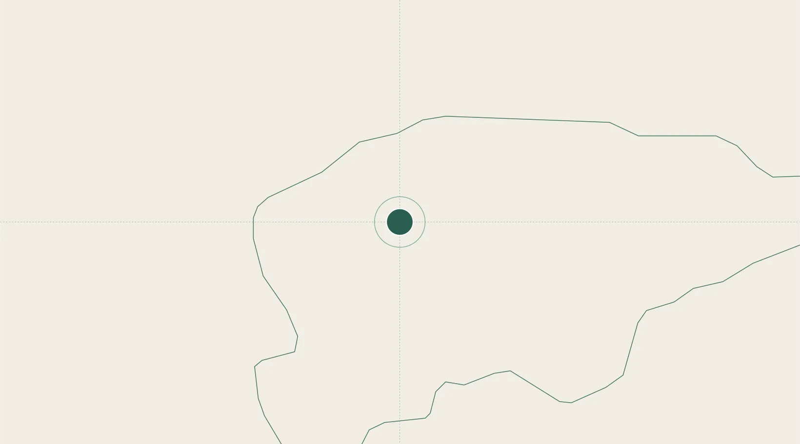
Location
Nearby Logistics Neighbours
Cities
- 1Iturbe34 km
- 2Coronel Oviedo37 km
- 3Caaguazu54 km
- 4Caraguatay69 km
- 5Caacupé81 km
Ports
- 1Puerto De Asuncion137 km
- 2Concordia647 km
- 3Porto Alegre698 km
- 4Colon738 km
- 5Paysandu747 km
Airports
Trade Zones
- 1Zona Franca Global175 km
- 2Zona Franca Internacional176 km
- 3Zona Franca Puerto Iguazu Free Trade Zone188 km
- 4Rivera Free Zone584 km
- 5ZPE de Bataguassú (MS)609 km
DatabookThe Record of Consolidated Knowledge
Paraguay beyond logistics?