UN/LOCODE hub · Paraguay
PYCOO
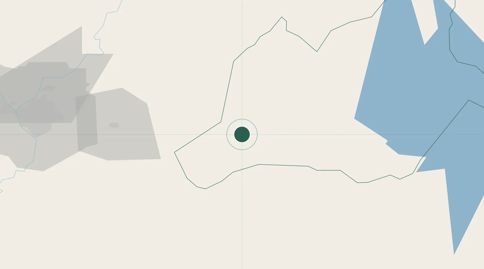
Coronel Oviedo
-25.4167°, -56.4500°
51,286
Population
1
Transport functions
Transport Functions
Multimodal
Hub Profile
Place type
Regional capital
Region
Caaguazú Department
Population
51,286
Time zone
America/Asuncion
Elevation
161 m
Location
Nearby Logistics Neighbours
Cities
- 1Villarrica37 km
- 2Caraguatay42 km
- 3Caaguazu44 km
- 4Caacupé69 km
- 5Iturbe71 km
Ports
- 1Puerto De Asuncion125 km
- 2Concordia683 km
- 3Porto Alegre726 km
- 4Colon774 km
- 5Paysandu783 km
Airports
Trade Zones
- 1Zona Franca Global175 km
- 2Zona Franca Internacional176 km
- 3Zona Franca Puerto Iguazu Free Trade Zone190 km
- 4ZPE de Bataguassú (MS)584 km
- 5Rivera Free Zone621 km
DatabookThe Record of Consolidated Knowledge
Paraguay beyond logistics?