Large airport · Paraguay
Silvio Pettirossi International AirportSGAS
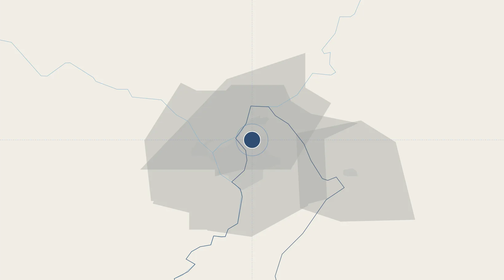
-25.2402°, -57.5192°
10,997 ft
Longest runway
1
Runways
292 ft
Elevation
Runway & Layout

Radio Frequencies
TWR
118.1 MHz
ASUNCION TWR
GND
121.9 MHz
APP
119.7 MHz
ASUNCION APP
CTR
128.4 MHz
ASUNCION CONTROL
RDO
126.9 MHz
ASUNCION RDO
RDO
1002.4 MHz
ASUNCION RDO
Navaids
ASU NDB Asuncion 360 kHz
PS NDB Asuncion 320 kHz
ST NDB Asuncion 340 kHz
VAS VOR-DME Asuncion 115.90 MHz
VB NDB Asuncion 305 kHz
Runways · 1
| Runway | Dimensions | Surface | True heading | Lit |
|---|---|---|---|---|
| 02/20 | 10,997 × 148ft | Asphalt | 010° | ✓ |
Airport Specifications
IATA code
ASU
ICAO code
SGAS
Airport class
Large airport
Scheduled service
Yes
Runway surface
Asphalt
Served city
Asunción
Location
Nearby Logistics Neighbours
Airports
Cities
- 1Barrio Caacupé Mí4 km
- 2Limpio7 km
- 3Colonia Mariano Roque Alonso9 km
- 4Asunción9 km
- 5Capiata16 km
Ports
- 1Puerto De Asuncion17 km
- 2Concordia687 km
- 3Santa Fe778 km
- 4Parana778 km
- 5Colon778 km
Trade Zones
- 1Zona Franca Global283 km
- 2Zona Franca Internacional284 km
- 3Zona Franca Puerto Iguazu Free Trade Zone300 km
- 4ZPE de Bataguassú (MS)654 km
- 5Rivera Free Zone663 km
DatabookThe Record of Consolidated Knowledge
Paraguay beyond logistics?