Transport Functions
Multimodal
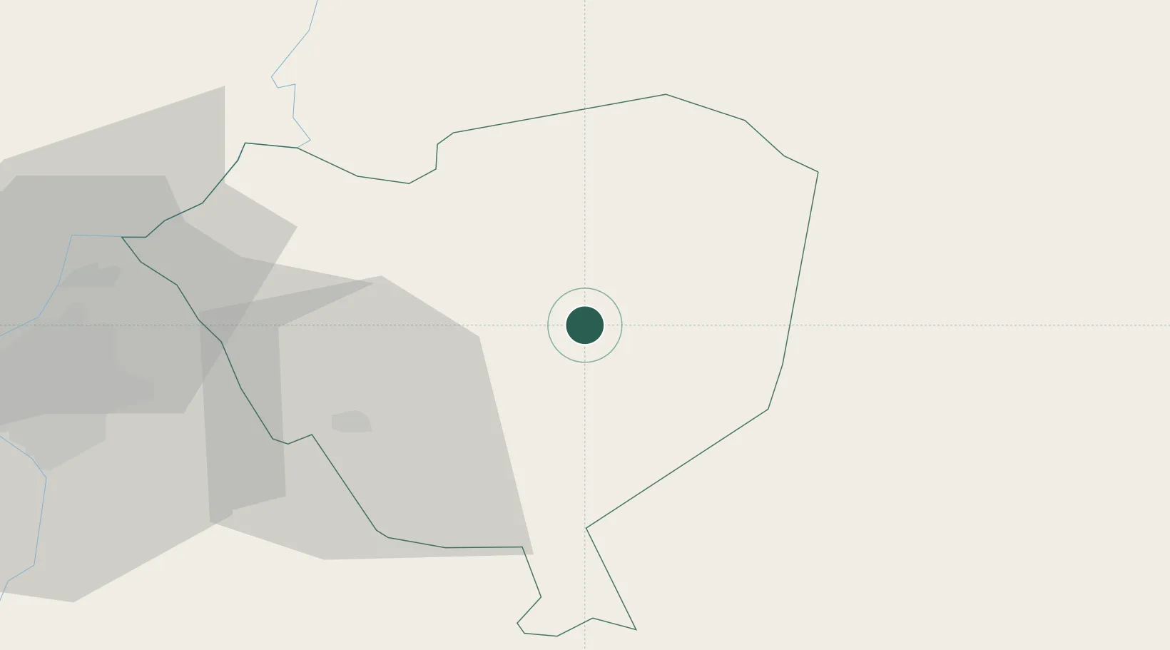
Hub Profile
Place type
Populated place
Region
Cordillera Department
Population
1,637
Time zone
America/Asuncion
Elevation
96 m
Location
Nearby Logistics Neighbours
Cities
- 1Arroyos y Esteros34 km
- 2Caacupé36 km
- 3Coronel Oviedo42 km
- 4Itaugua55 km
- 5Capiata62 km
Ports
- 1Puerto De Asuncion87 km
- 2Concordia696 km
- 3Porto Alegre766 km
- 4Colon787 km
- 5Paysandu797 km
Airports
Trade Zones
- 1Zona Franca Global213 km
- 2Zona Franca Internacional214 km
- 3Zona Franca Puerto Iguazu Free Trade Zone230 km
- 4ZPE de Bataguassú (MS)598 km
- 5Rivera Free Zone647 km
DatabookThe Record of Consolidated Knowledge
Paraguay beyond logistics?