Transport Functions
Port
Road
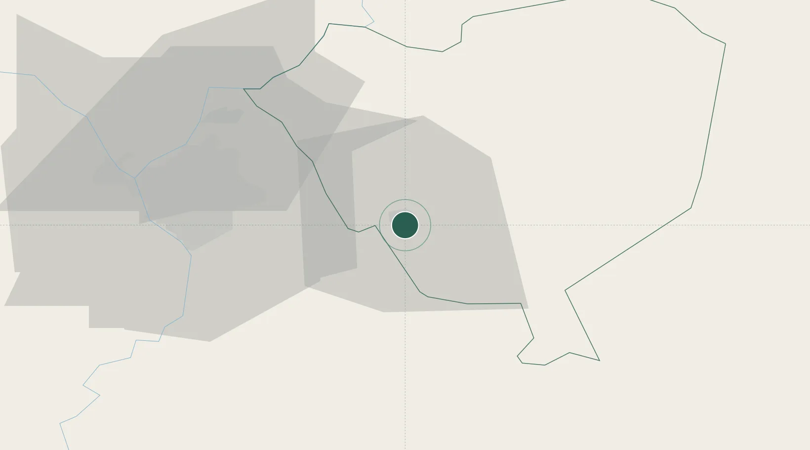
Hub Profile
Place type
Regional capital
Region
Cordillera Department
Population
56,864
Time zone
America/Asuncion
Elevation
180 m
Location
Nearby Logistics Neighbours
Cities
- 1Itaugua20 km
- 2Capiata29 km
- 3Arroyos y Esteros35 km
- 4Caraguatay36 km
- 5Puerto Sara41 km
Ports
- 1Puerto De Asuncion57 km
- 2Concordia675 km
- 3Colon766 km
- 4Paysandu776 km
- 5Porto Alegre777 km
Airports
Trade Zones
- 1Zona Franca Global243 km
- 2Zona Franca Internacional244 km
- 3Zona Franca Puerto Iguazu Free Trade Zone259 km
- 4ZPE de Bataguassú (MS)633 km
- 5Rivera Free Zone637 km
DatabookThe Record of Consolidated Knowledge
Paraguay beyond logistics?