Transport Functions
Port
Road
Hub Profile
Region
S
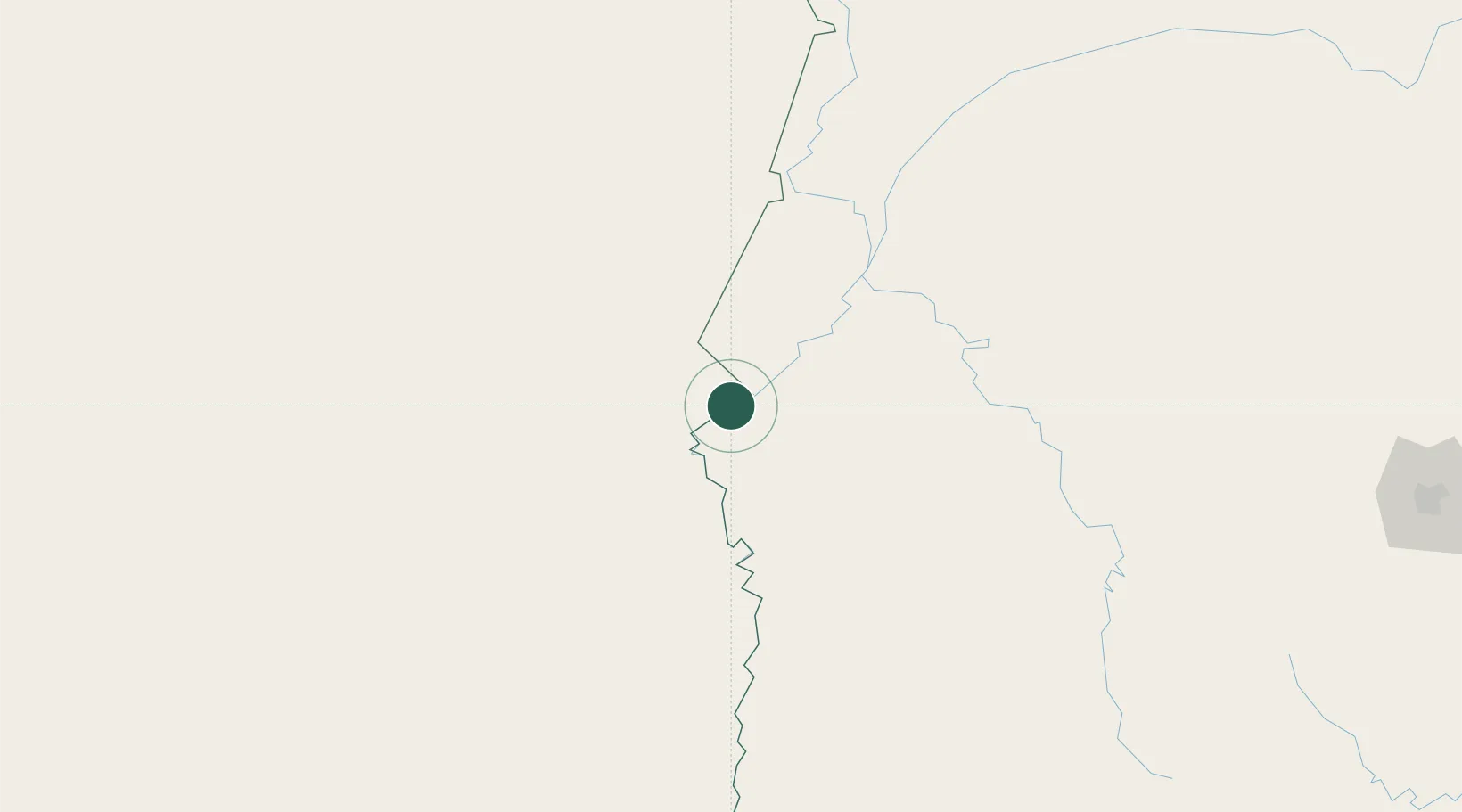
Location
Nearby Logistics Neighbours
Cities
- 1Fuerte Olimpo114 km
- 2Corumbá120 km
- 3Ladário121 km
- 4Puerto Suárez122 km
- 5Puerto Guarani141 km
Ports
- 1Puerto De Asuncion583 km
- 2Paranagua1143 km
- 3Sao Francisco1178 km
- 4Itajai1221 km
- 5Concordia1264 km
Airports
Trade Zones
- 1Central Aguirre Portuaria118 km
- 2ZPE DE Corumbá119 km
- 3Zona Franca Puerto Suárez119 km
- 4ZPE de Cáceres441 km
- 5Winner Commercial and Industrial Free Zone599 km
DatabookThe Record of Consolidated Knowledge
Bolivia beyond logistics?