Medium airport · Brazil
Corumbá International AirportSBCR
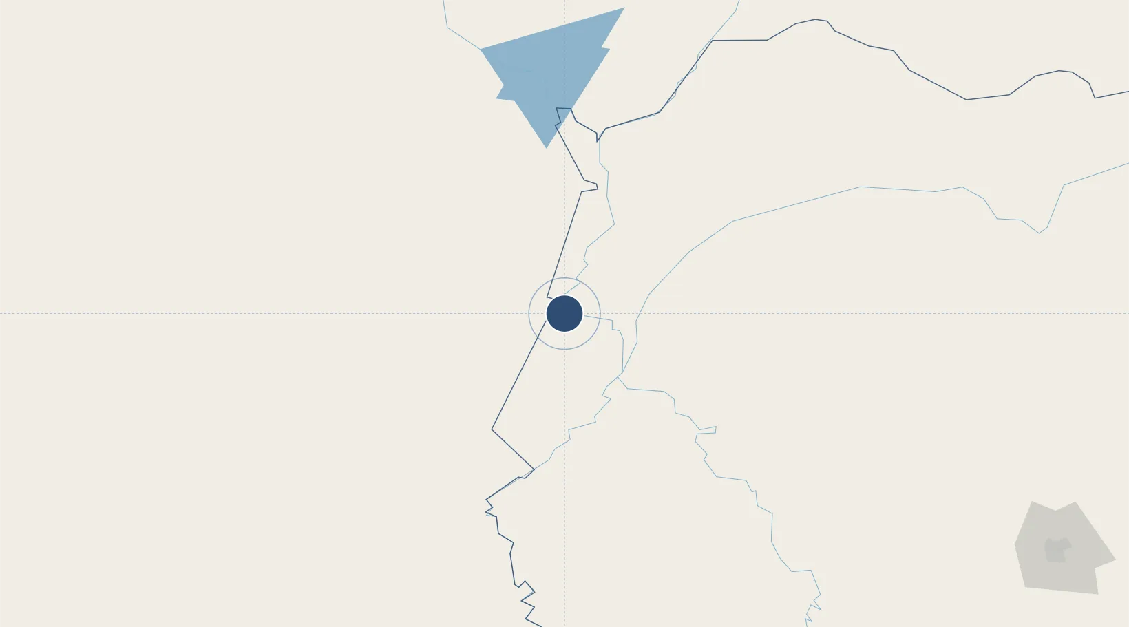
-19.0119°, -57.6728°
4,921 ft
Longest runway
1
Runways
463 ft
Elevation
Runway & Layout

Radio Frequencies
APP
119.5 MHz
AFIS
119.5 MHz
RDO
Navaids
CUB NDB Corumba 375 kHz
Runways · 1
| Runway | Dimensions | Surface | True heading | Lit |
|---|---|---|---|---|
| 09/27 | 4,921 × 148ft | Asphalt | — | — |
Airport Specifications
IATA code
CMG
ICAO code
SBCR
Airport class
Medium airport
Scheduled service
Yes
Runway surface
Asphalt
Served city
Corumbá
Location
Nearby Logistics Neighbours
Airports
- 1Capitán Av. Salvador Ogaya G. airport16 km
- 2Fazenda Riozinho Airport150 km
- 3Bonito Airport279 km
- 4Aeropuerto Nacional Doctor Juan Plate351 km
- 5Campo Grande Airport353 km
Cities
- 1Corumbá4 km
- 2Ladário8 km
- 3Puerto Suárez15 km
- 4Puerto Busch118 km
- 5Puerto Quijarro137 km
Ports
- 1Puerto De Asuncion696 km
- 2Paranagua1186 km
- 3Sao Francisco1227 km
- 4Itajai1275 km
- 5Santos1298 km
Trade Zones
- 1ZPE DE Corumbá1 km
- 2Central Aguirre Portuaria5 km
- 3Zona Franca Puerto Suárez18 km
- 4ZPE de Cáceres326 km
- 5Winner Commercial and Industrial Free Zone592 km
DatabookThe Record of Consolidated Knowledge
Brazil beyond logistics?