Medium airport · Bolivia
Capitán Av. Salvador Ogaya G. airportSLPS
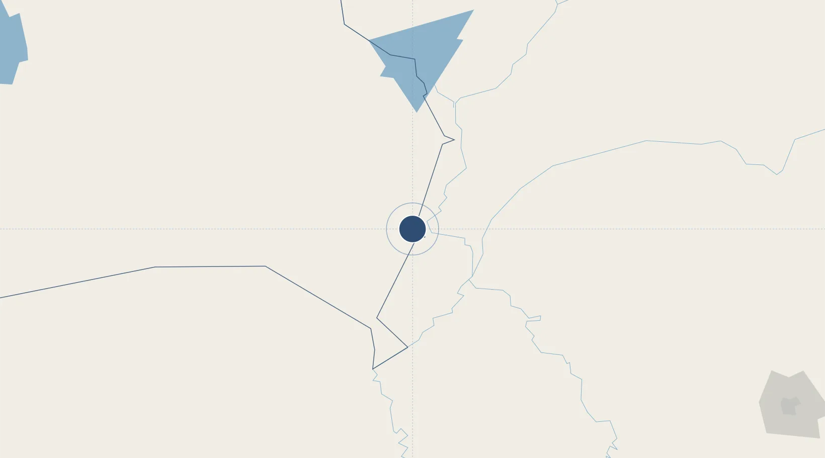
-18.9753°, -57.8206°
6,562 ft
Longest runway
1
Runways
440 ft
Elevation
Runway & Layout

Radio Frequencies
TWR
118.5 MHz
PUERTO SUAREZ TWR
RDO
662.2 MHz
PUERTO SUAREZ RDO
Navaids
PSZ NDB Puerto Suarez 290 kHz
Runways · 1
| Runway | Dimensions | Surface | True heading | Lit |
|---|---|---|---|---|
| 05/23 | 6,562 × 118ft | Asphalt | 032° | — |
Airport Specifications
IATA code
PSZ
ICAO code
SLPS
Airport class
Medium airport
Scheduled service
Yes
Runway surface
Asphalt
Served city
Puerto Suárez
Location
Nearby Logistics Neighbours
Airports
- 1Corumbá International Airport16 km
- 2Fazenda Riozinho Airport161 km
- 3Bonito Airport290 km
- 4Aeropuerto Nacional Doctor Juan Plate354 km
- 5Campo Grande Airport369 km
Cities
- 1Puerto Suárez4 km
- 2Corumbá20 km
- 3Ladário23 km
- 4Puerto Busch119 km
- 5Puerto Quijarro133 km
Ports
- 1Puerto De Asuncion700 km
- 2Paranagua1201 km
- 3Sao Francisco1242 km
- 4Itajai1289 km
- 5Santos1314 km
Trade Zones
- 1Zona Franca Puerto Suárez2 km
- 2Central Aguirre Portuaria11 km
- 3ZPE DE Corumbá16 km
- 4ZPE de Cáceres323 km
- 5Winner Commercial and Industrial Free Zone576 km
DatabookThe Record of Consolidated Knowledge
Bolivia beyond logistics?