Transport Functions
Multimodal
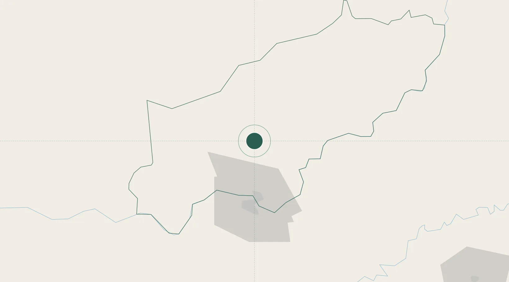
Hub Profile
Place type
Populated place
Region
Itapúa
Population
3,916
Time zone
America/Asuncion
Elevation
226 m
Location
Nearby Logistics Neighbours
Cities
- 1Trinidad18 km
- 2Obligado25 km
- 3San Pedro del Paraná36 km
- 4Encarnación39 km
- 5Carmen del Paraná43 km
Ports
- 1Puerto De Asuncion262 km
- 2Concordia534 km
- 3Porto Alegre567 km
- 4Colon621 km
- 5Paysandu629 km
Airports
Trade Zones
- 1Zona Franca Puerto Iguazu Free Trade Zone202 km
- 2Zona Franca Global203 km
- 3Zona Franca Internacional203 km
- 4Rivera Free Zone441 km
- 5ZPE de Rio Grande (RS)672 km
DatabookThe Record of Consolidated Knowledge
Paraguay beyond logistics?