Medium airport · Argentina

Formosa National AirportSARF
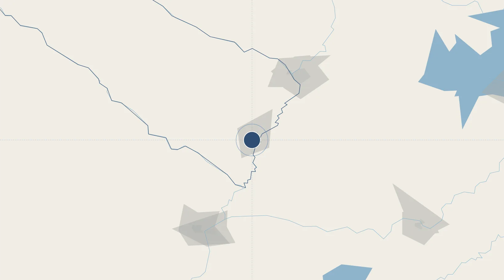
-26.2127°, -58.2281°
5,905 ft
Longest runway
1
Runways
193 ft
Elevation

Runway & Layout

Formosa National Airport runway & taxiway layout
Runway & taxiway layout — OpenStreetMap (ODbL) / OurAirports

Radio Frequencies

TWR
119.1 MHz
OurAirports

Navaids

FSA VOR-DME Formosa 115.60 MHz
OurAirports

Runways · 1

RunwayDimensions SurfaceTrue headingLit
4/22 5,905 × 131ft Asphalt 025°
OurAirports

Airport Specifications

IATA code
FMA
OurAirports
ICAO code
SARF
OurAirports
Airport class
Medium airport
OurAirports
Scheduled service
Yes
OurAirports
Runway surface
Asphalt
OurAirports
Served city
Formosa
OurAirports

Location

Location of SARF
Natural Earth 10m (public domain) · Formosa · SARF · -26.21, -58.23GoogleOSMYandex

Nearby Logistics Neighbours

Airports
  1. 1Aeródromo Don Carlos Miguel Gimenez75 km
  2. 2Silvio Pettirossi International Airport129 km
  3. 3Aeródromo Estancia Don Panos131 km
  4. 4Corrientes Airport147 km
  5. 5Resistencia International Airport160 km
Nearest neighbours — logibook spatial index (haversine) over the source coordinates
Cities
  1. 1Villeta98 km
  2. 2Villa Florida109 km
  3. 3San Antonio109 km
  4. 4Ypane110 km
  5. 5Terport (San Antonio)110 km
Nearest neighbours — logibook spatial index (haversine) over the source coordinates
Ports
  1. 1Puerto De Asuncion119 km
  2. 2Concordia577 km
  3. 3Santa Fe651 km
  4. 4Parana652 km
  5. 5Colon668 km
Nearest neighbours — logibook spatial index (haversine) over the source coordinates
Trade Zones
  1. 1Zona Franca Global361 km
  2. 2Zona Franca Internacional362 km
  3. 3Zona Franca Puerto Iguazu Free Trade Zone373 km
  4. 4Rivera Free Zone587 km
  5. 5Zona Franca Tucuman Free Trade Zone694 km
Nearest neighbours — logibook spatial index (haversine) over the source coordinates
DatabookThe Record of Consolidated Knowledge
Argentina beyond logistics?
Browse databook

All Sources

AirportsOurAirports
Public domain
Portsthe NGA World Port Index
Public domain (US gov)
LocationsUN/LOCODE
UN/LOCODE — free
Trade Zonesthe World Bank SEZ database
CC BY 4.0
Trade ZonesOpen Zone Map
CC BY
InfrastructureOpenStreetMap
ODbL 1.0
← Argentina airports