Transport Functions
Multimodal
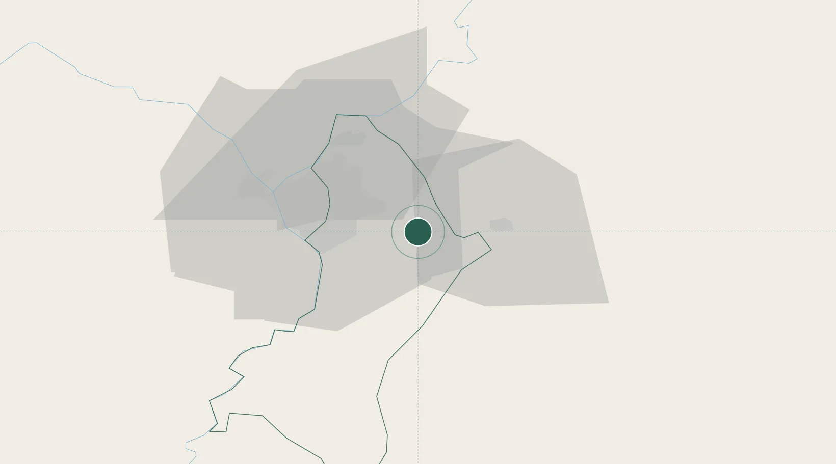
Hub Profile
Place type
Populated place
Region
Central Department
Population
64,997
Time zone
America/Asuncion
Elevation
140 m
Location
Nearby Logistics Neighbours
Cities
- 1Capiata9 km
- 2Caacupé20 km
- 3Puerto Sara21 km
- 4Ypane21 km
- 5San Antonio23 km
Ports
- 1Puerto De Asuncion38 km
- 2Concordia673 km
- 3Colon764 km
- 4Parana770 km
- 5Santa Fe770 km
Airports
Trade Zones
- 1Zona Franca Global263 km
- 2Zona Franca Internacional264 km
- 3Zona Franca Puerto Iguazu Free Trade Zone279 km
- 4Rivera Free Zone642 km
- 5ZPE de Bataguassú (MS)648 km
DatabookThe Record of Consolidated Knowledge
Paraguay beyond logistics?