UN/LOCODE hub · Paraguay
PYAYE
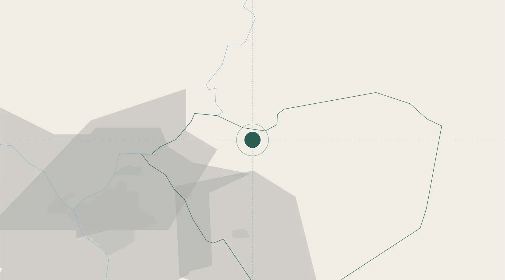
Arroyos y Esteros
-25.0667°, -57.1000°
2,455
Population
1
Transport functions
Transport Functions
Multimodal
Hub Profile
Place type
Populated place
Region
Cordillera Department
Population
2,455
Time zone
America/Asuncion
Elevation
90 m
Location
Nearby Logistics Neighbours
Cities
- 1Caraguatay34 km
- 2Caacupé35 km
- 3Itaugua42 km
- 4Capiata45 km
- 5Limpio46 km
Ports
- 1Puerto De Asuncion63 km
- 2Concordia710 km
- 3Porto Alegre799 km
- 4Colon801 km
- 5Paysandu812 km
Airports
Trade Zones
- 1Zona Franca Global245 km
- 2Zona Franca Internacional246 km
- 3Zona Franca Puerto Iguazu Free Trade Zone262 km
- 4ZPE de Bataguassú (MS)608 km
- 5Rivera Free Zone671 km
DatabookThe Record of Consolidated Knowledge
Paraguay beyond logistics?