Transport Functions
Multimodal
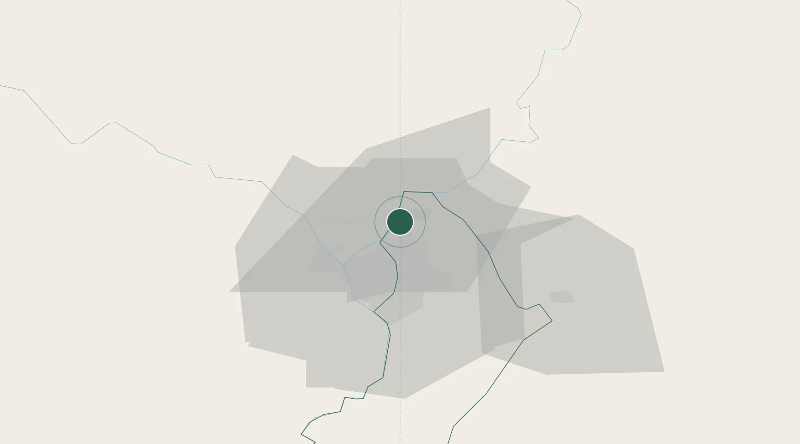
Hub Profile
Place type
Populated place
Region
Central Department
Population
96,143
Time zone
America/Asuncion
Elevation
74 m
Location
Nearby Logistics Neighbours
Cities
- 1Colonia Mariano Roque Alonso3 km
- 2Barrio Caacupé Mí4 km
- 3Villa Hayes10 km
- 4Asunción15 km
- 5Capiata22 km
Ports
- 1Puerto De Asuncion18 km
- 2Concordia693 km
- 3Santa Fe783 km
- 4Parana783 km
- 5Colon784 km
Airports
Trade Zones
- 1Zona Franca Global286 km
- 2Zona Franca Internacional286 km
- 3Zona Franca Puerto Iguazu Free Trade Zone302 km
- 4ZPE de Bataguassú (MS)651 km
- 5Rivera Free Zone669 km
DatabookThe Record of Consolidated Knowledge
Paraguay beyond logistics?