UN/LOCODE hub · Portugal
PTVCO
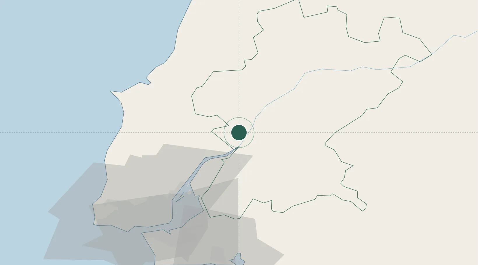
Vila Cha de Ourique
39.1667°, -8.7667°
2,771
Population
1
Transport functions
Transport Functions
Multimodal
Hub Profile
Place type
Populated place
Region
Santarém
Population
2,771
Time zone
Europe/Lisbon
Elevation
66 m
Location
Nearby Logistics Neighbours
Ports
- 1Lisboa62 km
- 2Setubal73 km
- 3Figueira Da Foz110 km
- 4Sines136 km
- 5Aveiro165 km
Airports
- 1Alverca Air Base39 km
- 2Tancos Airbase49 km
- 3Lisbon Humberto Delgado Airport53 km
- 4Montijo Air Base56 km
- 5Aeródromo Municipal de Ponte de Sor61 km
Trade Zones
- 1VGP Park Santa Maria da Feira197 km
- 2Zona Livre Tecnológica Masotinhos224 km
- 3Puerto de Huelva264 km
- 4Zona Franca de Sevilla316 km
- 5Zona Franca de Vigo341 km
DatabookThe Record of Consolidated Knowledge
Portugal beyond logistics?