Transport Functions
Rail
Road
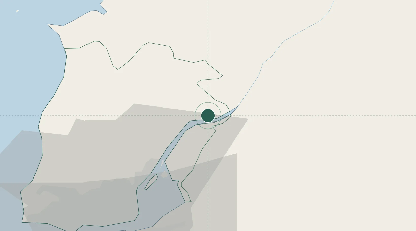
Hub Profile
Place type
Provincial seat
Region
Lisbon
Population
21,422
Time zone
Europe/Lisbon
Elevation
25 m
Location
Nearby Logistics Neighbours
Cities
- 1Vila Nova da Rainha7 km
- 2Salvaterra de Magos8 km
- 3Valada9 km
- 4Benavente11 km
- 5Cartaxo12 km
Ports
- 1Lisboa48 km
- 2Setubal61 km
- 3Figueira Da Foz121 km
- 4Sines124 km
- 5Aveiro177 km
Airports
- 1Alverca Air Base25 km
- 2Lisbon Humberto Delgado Airport39 km
- 3Montijo Air Base42 km
- 4Sintra Air Base49 km
- 5Cascais Airport57 km
Trade Zones
- 1VGP Park Santa Maria da Feira209 km
- 2Zona Livre Tecnológica Masotinhos235 km
- 3Puerto de Huelva261 km
- 4Zona Franca de Sevilla316 km
- 5Zona Franca de Vigo352 km
DatabookThe Record of Consolidated Knowledge
Portugal beyond logistics?